Loading...
Loading map...2022 Map of Luther
USGS Topo · Published 2022About this map
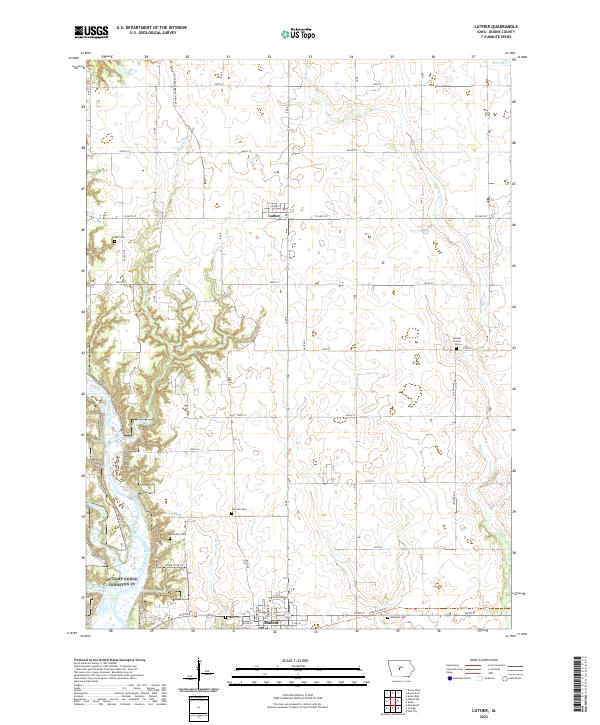
The Des Moines River carves through the western edge of this Boone County landscape, defining the topography south of Luther. The rural character of the area is anchored by several long-standing burial grounds, including Hull Cem and Garden Prairie Cem, which offer significant touchpoints for genealogical research in these townships. Settlement patterns are concentrated in the north at Luther and to the south where the northern edge of Madrid appears along the quadrangle boundary.
Find a feature on this map
44 named features on this map. Tap any name to fly to it.
Don’t see what you’re looking for? This feature index may not catch every label — zoom into the map to look around manually.
Map Details
Date Portrayed2022
Date Published2022
PublisherU.S. Geological Survey
Map TypeTopographic
Scale1:24000
Physical Dimensions24 x 29 inches
Editions of this 2022 Luther Map
This is the sole edition of this map. No revisions or reprints were ever made.
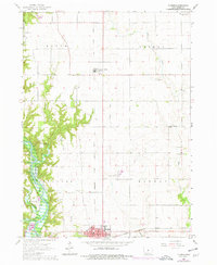
Historical Maps of Douglas Township Through Time
Featured Locations
Source Details
SourceU.S. Geological Survey
CopyrightPublic Domain