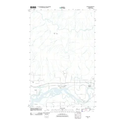
2011 Map of Lyman
USGS Topo · Published 2011About this map
Lyman and the surrounding river bottomlands are the focal point of this 2011 survey, situated along a complex network of waterways where Manner Creek and Childs Creek flow toward the Skagit River. The landscape is defined by the shifting hydrology of the river valley, evidenced by features like Jims Slough, Davis Slough, and Ross Island. To the north, the terrain rises toward Lyman Pass, where the South Fork Nooksack River and numerous tributaries such as Plumbago Creek and Canyon Creek drain the higher elevations. This map captures the region's rural infrastructure, from the Lyman Post Office and Lyman Cemetery to the residential clusters at Minkler and Hamilton Junction. The presence of Camp Eighteen in the northern hills suggests the area's ongoing relationship with the timber industry, while the valley floor is crisscrossed by established routes like the Lyman Hamilton Hwy.
Find a feature on this map
60 named features on this map. Tap any name to fly to it.
Don’t see what you’re looking for? This feature index may not catch every label — zoom into the map to look around manually.
Map Details
Editions of this 2011 Lyman Map
This is the sole edition of this map. No revisions or reprints were ever made.
Other maps of this area

1899 · Stillaguamish
USGS Topo · 1:125,000

1901 · Stilaguamish
USGS Topo · 1:125,000

1909 · Mt Baker
USGS Topo · 1:192,000

1911 · Mount Vernon
USGS Topo · 1:125,000

1915 · Mt. Baker
USGS Topo · 1:250,000

1921 · Wickersham
USGS Topo · 1:62,500

1944 · Clear Lake
USGS Topo · 1:62,500

1951 · Wickersham
USGS Topo · 1:62,500

1952 · Hamilton
USGS Topo · 1:62,500

1955 · Concrete
USGS Topo · 1:250,000