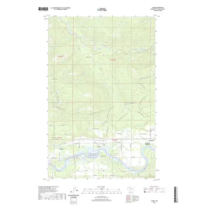
2020 Map of Lyman
USGS Topo · Published 2020About this map
The Skagit Wild and Scenic River defines the lower third of this landscape, carving through the Skagit Valley and creating riverine features like Ross Island and Jims Slough. Along its northern bank, the towns of Lyman and Hamilton are connected by the Lyman Hamilton Hwy, while Hamilton Junction sits just to the east. This river-level settlement pattern contrasts sharply with the mountainous terrain to the north, where the South Fork Nooksack River and numerous creeks like Canyon Cr and Fobes Cr drain the slopes of Lyman Hill.
Find a feature on this map
64 named features on this map. Tap any name to fly to it.
Don’t see what you’re looking for? This feature index may not catch every label — zoom into the map to look around manually.
Map Details
Editions of this 2020 Lyman Map
This is the sole edition of this map. No revisions or reprints were ever made.
Other maps of this area
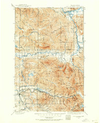
1899 · Stillaguamish
USGS Topo · 1:125,000
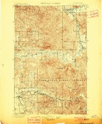
1901 · Stilaguamish
USGS Topo · 1:125,000
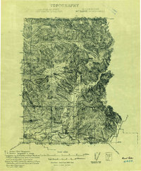
1909 · Mt Baker
USGS Topo · 1:192,000

1911 · Mount Vernon
USGS Topo · 1:125,000
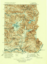
1915 · Mt. Baker
USGS Topo · 1:250,000
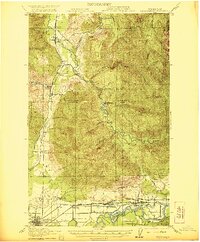
1921 · Wickersham
USGS Topo · 1:62,500
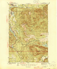
1944 · Clear Lake
USGS Topo · 1:62,500
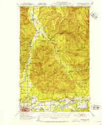
1951 · Wickersham
USGS Topo · 1:62,500
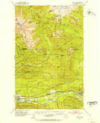
1952 · Hamilton
USGS Topo · 1:62,500
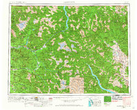
1955 · Concrete
USGS Topo · 1:250,000