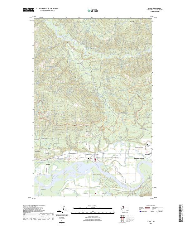
2023 Map of Lyman
USGS Topo · Published 2023About this map
Lyman and Hamilton occupy the southern valley floor along the Skagit River in this 2023 survey of Skagit County. The river's winding course is mirrored by the Skagit Wild and Scenic River corridor, passing landmarks like Ross Island and the mouth of Day Creek. The northern portion of the map transitions into the high elevations of Lyman Hill and Miner Mtn, where the headwaters of the South Fork Nooksack River and Canyon Creek emerge.
Find a feature on this map
64 named features on this map. Tap any name to fly to it.
Don’t see what you’re looking for? This feature index may not catch every label — zoom into the map to look around manually.
Map Details
Editions of this 2023 Lyman Map
This is the sole edition of this map. No revisions or reprints were ever made.
Other maps of this area

1899 · Stillaguamish
USGS Topo · 1:125,000

1901 · Stilaguamish
USGS Topo · 1:125,000

1909 · Mt Baker
USGS Topo · 1:192,000

1911 · Mount Vernon
USGS Topo · 1:125,000

1915 · Mt. Baker
USGS Topo · 1:250,000

1921 · Wickersham
USGS Topo · 1:62,500

1944 · Clear Lake
USGS Topo · 1:62,500

1951 · Wickersham
USGS Topo · 1:62,500

1952 · Hamilton
USGS Topo · 1:62,500

1955 · Concrete
USGS Topo · 1:250,000