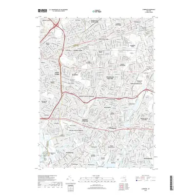
2019 Map of Lynbrook
USGS Topo · Published 2019About this map
Queens and Nassau counties meet in this densely developed landscape of the late 2010s, where the western Long Island suburbs converge. This map shows the transition from the grid-like residential blocks of Queens Village and Bellerose into the expansive village footprints of Elmont and Franklin Square. The presence of massive cemeteries like Montefiore Cem and Beth David Cem highlights the region's historic role as a resting place for the city's population.
Find a feature on this map
89 named features on this map. Tap any name to fly to it.
Don’t see what you’re looking for? This feature index may not catch every label — zoom into the map to look around manually.
Map Details
Editions of this 2019 Lynbrook Map
This is the sole edition of this map. No revisions or reprints were ever made.
Other maps of this area

1889 · Brooklyn
USGS Topo · 1:62,500

1891 · Brooklyn
USGS Topo · 1:62,500

1891 · Harlem
USGS Topo · 1:62,500

1897 · Harlem
USGS Topo · 1:62,500

1897 · Brooklyn
USGS Topo · 1:62,500

1897 · Hempstead
USGS Topo · 1:62,500

1897 · Oyster Bay
USGS Topo · 1:62,500

1898 · Harlem
USGS Topo · 1:62,500

1898 · Hempstead
USGS Topo · 1:62,500

1898 · Brooklyn
USGS Topo · 1:62,500