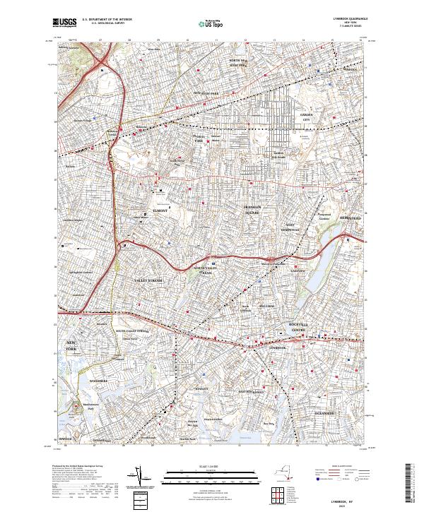
2023 Map of Lynbrook
USGS Topo · Published 2023About this map
Dense residential grids and historic burial grounds define this landscape where the Queens Co Nassau Co boundary divides the city from the burgeoning suburbs. The area is anchored by numerous spiritual and civic institutions, including the Saint Johns United Presbyterian Church and the extensive Montefiore Cem in the west. Significant infrastructure like the Cross Island Pkwy and the Long Island rail lines facilitate the movement of people through neighborhoods such as Valley Stream and Franklin Square.
Find a feature on this map
97 named features on this map. Tap any name to fly to it.
Don’t see what you’re looking for? This feature index may not catch every label — zoom into the map to look around manually.
Map Details
Editions of this 2023 Lynbrook Map
This is the sole edition of this map. No revisions or reprints were ever made.
Other maps of this area

1889 · Brooklyn
USGS Topo · 1:62,500

1891 · Brooklyn
USGS Topo · 1:62,500

1891 · Harlem
USGS Topo · 1:62,500

1897 · Harlem
USGS Topo · 1:62,500

1897 · Brooklyn
USGS Topo · 1:62,500

1897 · Hempstead
USGS Topo · 1:62,500

1897 · Oyster Bay
USGS Topo · 1:62,500

1898 · Harlem
USGS Topo · 1:62,500

1898 · Hempstead
USGS Topo · 1:62,500

1898 · Brooklyn
USGS Topo · 1:62,500