Loading...
Loading map...2022 Map of Lyndon
USGS Topo · Published 2022About this map
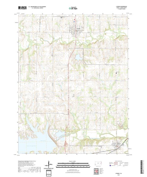
Lyndon serves as the focal point of this Osage County landscape, centered on the Osage County Courthouse and a grid of municipal streets. The town's layout reflects its role as a regional administrative hub, situated just north of the significant waterway of Salt Creek. To the south, the terrain shifts toward the wide valley of the Marais des Cygnes River, where the expansive Melvern Lake dominates the southwestern corner.
Find a feature on this map
64 named features on this map. Tap any name to fly to it.
Don’t see what you’re looking for? This feature index may not catch every label — zoom into the map to look around manually.
Map Details
Date Portrayed2022
Date Published2022
PublisherU.S. Geological Survey
Map TypeTopographic
Scale1:24000
Physical Dimensions24 x 29 inches
Editions of this 2022 Lyndon Map
This is the sole edition of this map. No revisions or reprints were ever made.
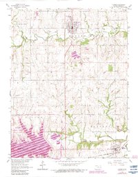
Historical Maps of Melvern Through Time
Featured Locations
Source Details
SourceU.S. Geological Survey
CopyrightPublic Domain