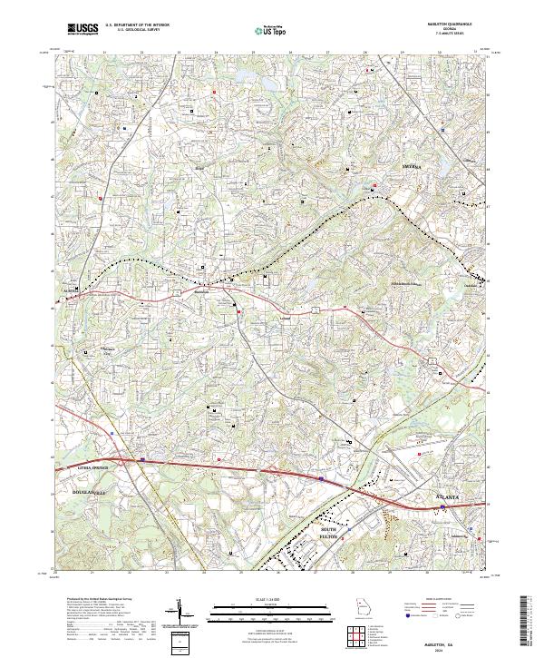
2024 Map of Mableton
USGS Topo · Published 2024About this map
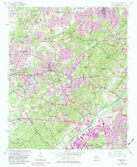
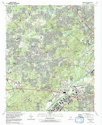
The Chattahoochee River serves as a defining boundary in this area, where the counties of Cobb and Fulton meet. The landscape is marked by a dense concentration of family and community burial grounds, such as Sanders Cem, Little Bethel Cem, and the uniquely named Cox - Morrow - Mitchell Cem, which offer significant data for genealogical research. These sites reflect the early settlement patterns of Mableton and Floyd, preserving the heritage of the families who established these communities before the expansion of the Atlanta metropolitan area. Historical river crossings, including Turner Ferry, Bakers Ferry, and Nelsons Ferry, point to an era when the river was a primary corridor for commerce and travel. The development of modern thoroughfares like the Veterans Memorial Pkwy SW indicates the transition toward contemporary suburban infrastructure.
Find a feature on this map
72 named features on this map. Tap any name to fly to it.
Don’t see what you’re looking for? This feature index may not catch every label — zoom into the map to look around manually.
Map Details
Editions of this 2024 Mableton Map
This is the sole edition of this map. No revisions or reprints were ever made.