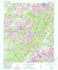
1954 Map of Mableton
USGS Topo · Published 1983About this map
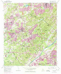
Mableton serves as the focal point of this mid-century survey of the Cobb and Fulton County line, capturing the area as it transitioned from rural agriculture to suburban expansion. The Chattahoochee River carves a path through the southern portion of the map, flanked by significant industrial developments like Industrial Boulevard and the operations at Fulton Co Airport (Brown Field). Historical footprints are visible in family landmarks like Orange Hill Mill and a collection of local burial grounds including Mable Cem, Gann Cem, and the Ruff Cem. The arrival of modern recreation and education is marked by the establishment of South Cobb High School, Camp Civitania, and the expansive Sweetwater Creek State Park, while the Southern Railway and Seaboard Coast Line continue to define the corridor's transport backbone.
Find a feature on this map
79 named features on this map. Tap any name to fly to it.
Don’t see what you’re looking for? This feature index may not catch every label — zoom into the map to look around manually.
Map Details
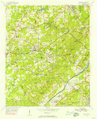
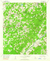
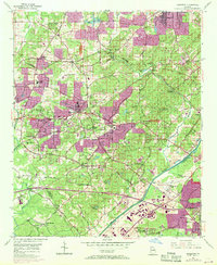
Editions of this 1954 Mableton Map
5 editions found
Other maps of this area

1888 · Atlanta
USGS Topo · 1:125,000

1890 · Atlanta
USGS Topo · 1:125,000

1891 · Marietta
USGS Topo · 1:125,000

1892 · Atlanta
USGS Topo · 1:125,000

1895 · Atlanta
USGS Topo · 1:125,000

1895 · Marietta
USGS Topo · 1:125,000

1897 · Marietta
USGS Topo · 1:125,000

1901 · Marietta
USGS Topo · 1:125,000

1953 · Atlanta
USGS Topo · 1:250,000

1954 · Campbellton
USGS Topo · 1:24,000