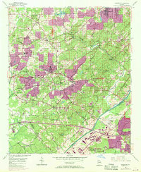
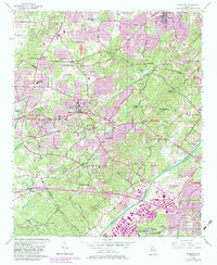
1954 Map of Mableton
USGS Topo · Published 1969About this map
The Chattahoochee River forms a natural boundary on this mid-century survey, dividing the developing suburbs of Mableton and Smyrna from the growing industrial and transport hubs of West Atlanta. This 1954 base, updated with 1968 aerial revisions, captures the post-war transition of Cobb County as residential communities like Pebblebrook Estates and Furniture City began to fill the landscape between established routes like the Bankhead Highway and Alabama Road. The map documents a dense network of local institutions, including the State Training School For Girls and numerous rural houses of worship such as Davis Chapel and Orange Hill Ch. Transport infrastructure is prominent, featuring the Fulton County Airport and the intersection of the Seaboard Coast Line and Southern Railway, which historically fueled the area's growth. Traditional landmarks like Ruff Mill on Nickajack Creek and Garretts Bridge provide critical reference points for local historians and genealogists tracing early land use and family settlements.
Find a feature on this map
78 named features on this map. Tap any name to fly to it.
Don’t see what you’re looking for? This feature index may not catch every label — zoom into the map to look around manually.
Map Details
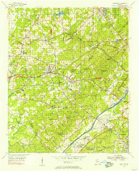
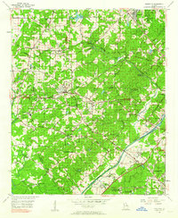
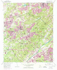
Editions of this 1954 Mableton Map
5 editions found
Other maps of this area

1888 · Atlanta
USGS Topo · 1:125,000

1890 · Atlanta
USGS Topo · 1:125,000

1891 · Marietta
USGS Topo · 1:125,000

1892 · Atlanta
USGS Topo · 1:125,000

1895 · Atlanta
USGS Topo · 1:125,000

1895 · Marietta
USGS Topo · 1:125,000

1897 · Marietta
USGS Topo · 1:125,000

1901 · Marietta
USGS Topo · 1:125,000

1953 · Atlanta
USGS Topo · 1:250,000

1954 · Campbellton
USGS Topo · 1:24,000