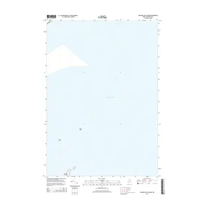
2014 Map of Machias Seal Island
USGS Topo · Published 2014About this map
Machias Seal Island and its surrounding waters define this coastal survey of the far eastern reaches of Maine. Located in the open Atlantic Ocean, this small landmass and the nearby North Rock represent significant navigational markers for the region's maritime history. The map also identifies North Shoal, a submarine feature critical to those working these waters. Given its location and the presence of these isolated geographic features, the sheet provides essential documentation for researchers studying maritime boundaries and the topographical character of the Gulf of Maine’s outer islands during the early 21st century.
Find a feature on this map
5 named features on this map. Tap any name to fly to it.
Don’t see what you’re looking for? This feature index may not catch every label — zoom into the map to look around manually.
Map Details
Editions of this 2014 Machias Seal Island Map
This is the sole edition of this map. No revisions or reprints were ever made.
Other maps of this area

1917 · Cutler
USGS Topo · 1:62,500

1918 · Cutler
USGS Topo · 1:62,500
1949 · Moose River
USGS Topo · 1:24,000
1949 · Cutler
USGS Topo · 1:24,000
1951 · Moose River
USGS Topo · 1:24,000
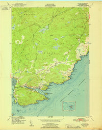
1951 · Cutler
USGS Topo · 1:24,000
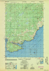
1953 · Cutler
USGS Topo · 1:25,000

1961 · Eastport
USGS Topo · 1:250,000
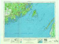
1969 · Eastport
USGS Topo · 1:250,000
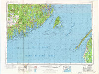
1976 · Eastport
USGS Topo · 1:250,000