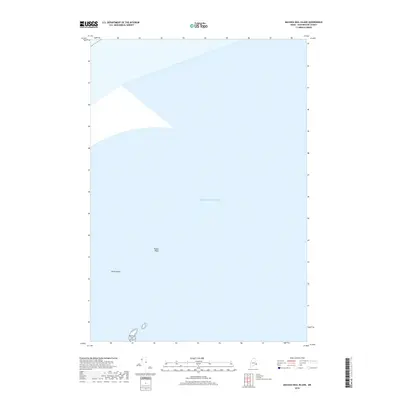
2018 Map of Machias Seal Island
USGS Topo · Published 2018About this map
Machias Seal Island stands as the primary terrestrial feature in this maritime survey, situated within the vast expanse of the Atlantic Ocean off the coast of Maine. This 2018 survey by the U.S. Geological Survey highlights the sparse but critical navigational hazards of the area, including the small outcrop of North Rock and the submerged hazard of North Shoal. Located in the vicinity of Cutler, Washington County, the map provides a precise look at these remote features which have long been significant to maritime navigation and regional bird conservation efforts. The isolation of these features from the mainland illustrates the specialized nature of coastal boundary mapping in the far northeastern United States.
Find a feature on this map
4 named features on this map. Tap any name to fly to it.
Don’t see what you’re looking for? This feature index may not catch every label — zoom into the map to look around manually.
Map Details
Editions of this 2018 Machias Seal Island Map
This is the sole edition of this map. No revisions or reprints were ever made.
Other maps of this area

1917 · Cutler
USGS Topo · 1:62,500

1918 · Cutler
USGS Topo · 1:62,500
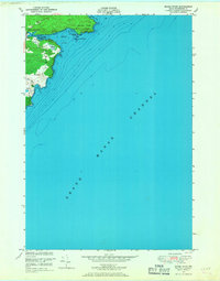
1949 · Moose River
USGS Topo · 1:24,000
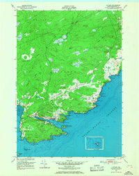
1949 · Cutler
USGS Topo · 1:24,000
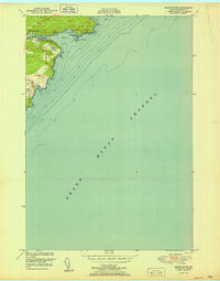
1951 · Moose River
USGS Topo · 1:24,000
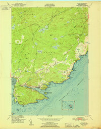
1951 · Cutler
USGS Topo · 1:24,000
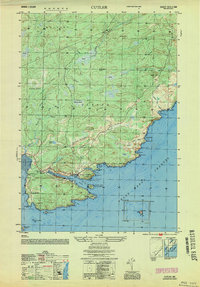
1953 · Cutler
USGS Topo · 1:25,000

1961 · Eastport
USGS Topo · 1:250,000
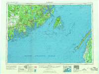
1969 · Eastport
USGS Topo · 1:250,000
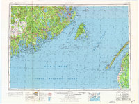
1976 · Eastport
USGS Topo · 1:250,000