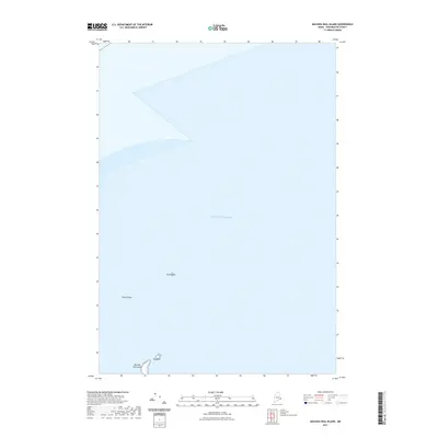
2021 Map of Machias Seal Island
USGS Topo · Published 2021About this map
Machias Seal Island anchor this remote maritime survey in the Gulf of Maine, marking a critical point of land and navigation in the Atlantic Ocean. The map documents the scattered outcrops and submerged hazards that define this nautical environment, including the small prominent ledge of North Rock and the hazardous stretch of North Shoal to the south. Near the primary island, Gull Rock stands as a distinct landmark for mariners and researchers tracking the geographic features of Washington County. This modern 2021 update captures the exact positioning of these features, reflecting the ongoing geographic importance of this isolated archipelago and its surrounding waters.
Find a feature on this map
5 named features on this map. Tap any name to fly to it.
Don’t see what you’re looking for? This feature index may not catch every label — zoom into the map to look around manually.
Map Details
Editions of this 2021 Machias Seal Island Map
This is the sole edition of this map. No revisions or reprints were ever made.
Other maps of this area

1917 · Cutler
USGS Topo · 1:62,500

1918 · Cutler
USGS Topo · 1:62,500
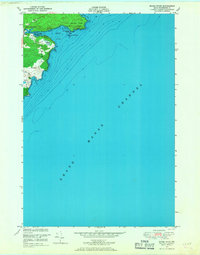
1949 · Moose River
USGS Topo · 1:24,000
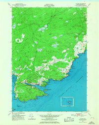
1949 · Cutler
USGS Topo · 1:24,000
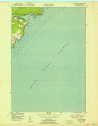
1951 · Moose River
USGS Topo · 1:24,000
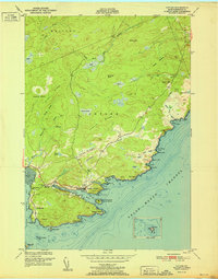
1951 · Cutler
USGS Topo · 1:24,000
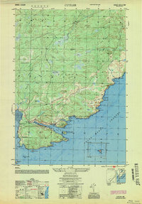
1953 · Cutler
USGS Topo · 1:25,000

1961 · Eastport
USGS Topo · 1:250,000
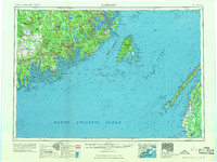
1969 · Eastport
USGS Topo · 1:250,000
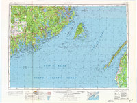
1976 · Eastport
USGS Topo · 1:250,000