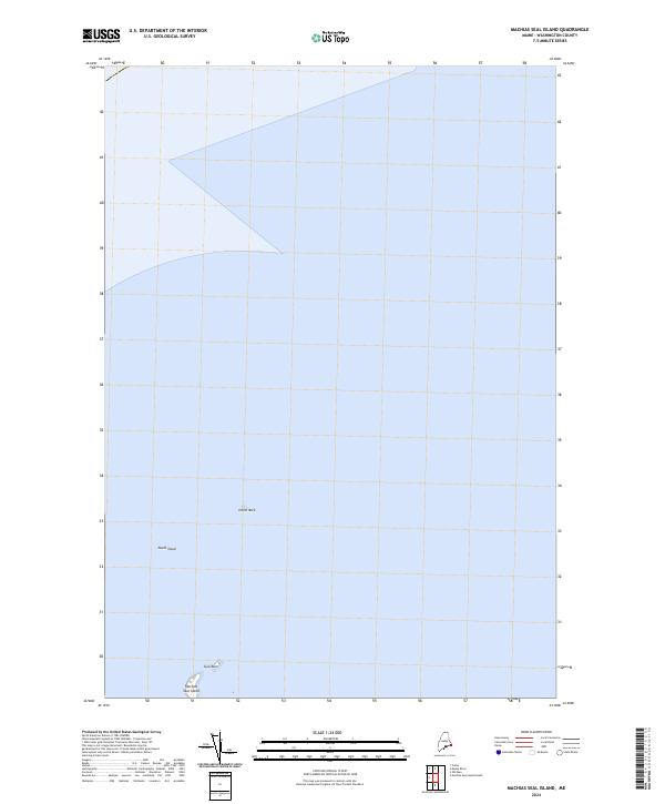
2024 Map of Machias Seal Island
USGS Topo · Published 2024About this map
Machias Seal Island sits as a solitary outpost in the southern reaches of this Washington County maritime survey. Surrounded by the open waters of the Atlantic, the island is accompanied only by a few nearby hazards and landforms, including the small outcrop of Gull Rock to the north and the treacherous North Shoal. This modern study by the U.S. Geological Survey details the precise coastline and bathymetric surroundings of this isolated location. Further north, the lone peak of North Rock rises from the sea, marking a critical point for navigation in these remote coastal waters. The map is primarily an aquatic study, illustrating the isolation of these rocky features from the Maine mainland.
Find a feature on this map
4 named features on this map. Tap any name to fly to it.
Don’t see what you’re looking for? This feature index may not catch every label — zoom into the map to look around manually.
Map Details
Editions of this 2024 Machias Seal Island Map
This is the sole edition of this map. No revisions or reprints were ever made.
Other maps of this area

1917 · Cutler
USGS Topo · 1:62,500

1918 · Cutler
USGS Topo · 1:62,500
1949 · Moose River
USGS Topo · 1:24,000
1949 · Cutler
USGS Topo · 1:24,000
1951 · Moose River
USGS Topo · 1:24,000
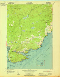
1951 · Cutler
USGS Topo · 1:24,000
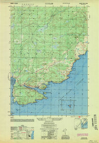
1953 · Cutler
USGS Topo · 1:25,000

1961 · Eastport
USGS Topo · 1:250,000
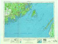
1969 · Eastport
USGS Topo · 1:250,000
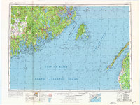
1976 · Eastport
USGS Topo · 1:250,000