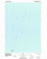
1993 Map of Machias Seal Island
USGS Topo · Published 1995About this map
Machias Seal Island stands as a lonely outpost in this 1993 survey, marking a maritime landscape where the Grand Manan Channel meets the Atlantic Ocean. The map centers on this small landmass and the nearby North Rock, both situated within the Gulf of Maine. Of particular interest to maritime historians and lighthouse enthusiasts is the recorded Lighthouse on the southern portion of the island, a critical navigational aid in a region known for its complex tidal waters and thick fogs. While the surrounding waters are expansive, the map's focus on these specific rocky outcrops highlights their strategic importance. Notably, the collar mentions that a portion of the United States-Canadian boundary in this area was in dispute at the time of editing and is purposefully not shown, reflecting the ongoing geopolitical sensitivities of these remote coastal islands.
Find a feature on this map
6 named features on this map. Tap any name to fly to it.
Don’t see what you’re looking for? This feature index may not catch every label — zoom into the map to look around manually.
Map Details
Editions of this 1993 Machias Seal Island Map
This is the sole edition of this map. No revisions or reprints were ever made.
Other maps of this area

1917 · Cutler
USGS Topo · 1:62,500

1918 · Cutler
USGS Topo · 1:62,500
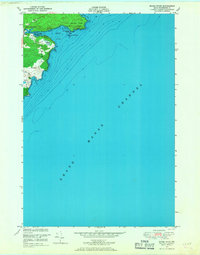
1949 · Moose River
USGS Topo · 1:24,000
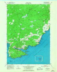
1949 · Cutler
USGS Topo · 1:24,000
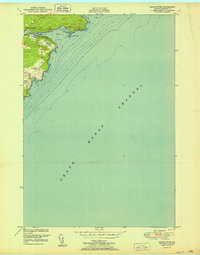
1951 · Moose River
USGS Topo · 1:24,000
1951 · Cutler
USGS Topo · 1:24,000
1953 · Cutler
USGS Topo · 1:25,000

1961 · Eastport
USGS Topo · 1:250,000
1969 · Eastport
USGS Topo · 1:250,000
1976 · Eastport
USGS Topo · 1:250,000