Loading...
Loading map...2022 Map of Madison
USGS Topo · Published 2022About this map
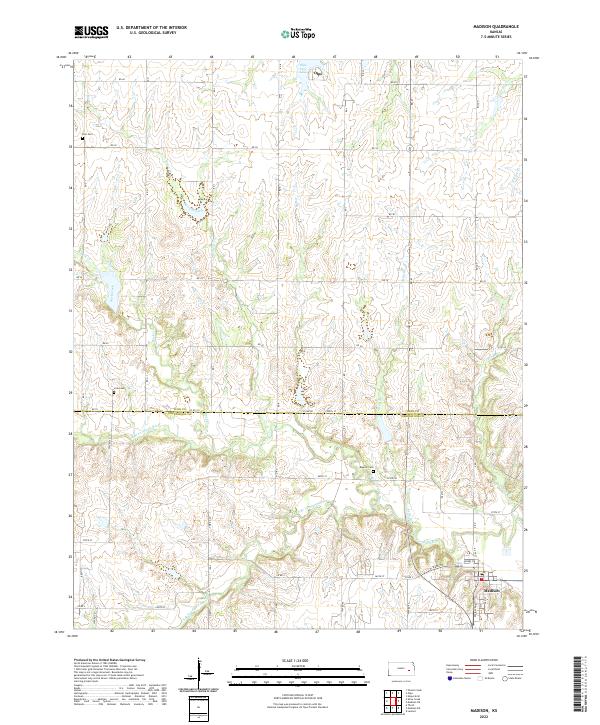
Madison stands at the convergence of several major waterways in the southeastern portion of this Flint Hills landscape. The township is defined by the winding course of the Verdigris River, which is fed by the N Br Verdigris River and the S Br Verdigris River. The land use is characterized by a high-density grid of county roads, such as Co RD 101 and 380th St, which navigate the various branches and creeks like Kelly Br and Tate Br Cr.
Find a feature on this map
40 named features on this map. Tap any name to fly to it.
Don’t see what you’re looking for? This feature index may not catch every label — zoom into the map to look around manually.
Map Details
Date Portrayed2022
Date Published2022
PublisherU.S. Geological Survey
Map TypeTopographic
Scale1:24000
Physical Dimensions24 x 29 inches
Editions of this 2022 Madison Map
This is the sole edition of this map. No revisions or reprints were ever made.
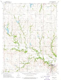
Historical Maps of Olpe Through Time
Featured Locations
Source Details
SourceU.S. Geological Survey
CopyrightPublic Domain