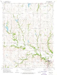
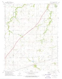
1973 Map of Madison
USGS Topo · Published 1975About this map
The Verdigris River snakes through the southern portion of this landscape, meeting its many tributaries as they flow south across the Lyon Co Greenwood Co line. Near the river, the city of Madison serves as a local hub, defined in the early 1970s by its proximity to the Atchison Topeka and Santa Fe railroad line and a landscape dotted with numerous oil wells and an active oil field.
Find a feature on this map
29 named features on this map. Tap any name to fly to it.
Don’t see what you’re looking for? This feature index may not catch every label — zoom into the map to look around manually.
Map Details
Editions of this 1973 Madison Map
This is the sole edition of this map. No revisions or reprints were ever made.
Other maps of this area

1888 · Emporia
USGS Topo · 1:125,000

1894 · Emporia
USGS Topo · 1:125,000

1955 · Hutchinson
USGS Topo · 1:250,000

1959 · Hutchinson
USGS Topo · 1:250,000

1967 · Madison SW
USGS Topo · 1:24,000
1967 · Thrall
USGS Topo · 1:24,000
1967 · Lamont
USGS Topo · 1:24,000
1973 · Olpe
USGS Topo · 1:24,000

1973 · Shaw Creek
USGS Topo · 1:24,000
1973 · Phenis Creek
USGS Topo · 1:24,000