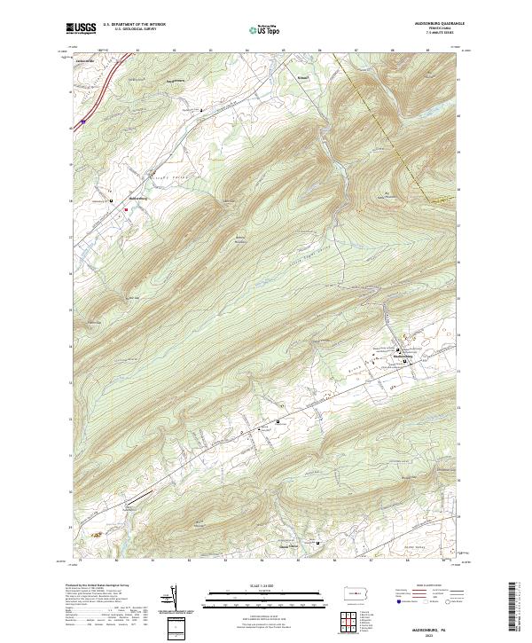
2023 Map of Madisonburg
USGS Topo · Published 2023About this map
Brush Valley and Nittany Valley dominate this survey of central Pennsylvania, where a series of parallel ridges creates a distinct landscape of isolated agricultural pockets. The settlement of Madisonburg serves as a local hub, anchored by several prominent burial grounds including the Madisonburg Lutheran and Reformed Cem and the United Church of Christ and Lutheran Cem. These sites, along with smaller hamlets like Hublersburg and Snydertown, illustrate the enduring community structures of the region.
Find a feature on this map
107 named features on this map. Tap any name to fly to it.
Don’t see what you’re looking for? This feature index may not catch every label — zoom into the map to look around manually.
Map Details
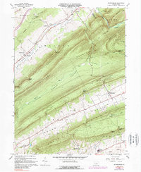
Editions of this 2023 Madisonburg Map
This is the sole edition of this map. No revisions or reprints were ever made.
Historical Maps of Marion Township Through Time
3 maps found
Featured Locations
- Miles Township, PA
- Gregg Township, PA
- Porter Township, PA
- Logan Township, PA
- Snydertown, Walker Township