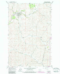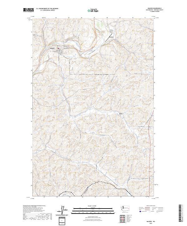
2023 Map of Malden
USGS Topo · Published 2023About this map
Malden is situated along the upper reaches of Pine Creek in Whitman County, characterized by its traditional grid layout and residential street names such as Broadway Ave and Moreland Ave. This agricultural and former railroad corridor reflects the transition of the Pacific Northwest hinterland, where the Palouse To Cascades State Park Trl now follows the path once carved by heavy rail traffic. To the northeast, Rosalia serves as a secondary anchor, home to the Rosalia Municipal Airport and a central Po. The surrounding landscape is defined by the complex drainage systems of Cache Creek and Thorn Creek, which cut through the undulating Palouse hills. Small, named locales like Balder and a network of rural routes, including Old Thornton Hwy and Gashouse Rd, connect the scattered farmsteads and valleys of this productive region.
Find a feature on this map
45 named features on this map. Tap any name to fly to it.
Don’t see what you’re looking for? This feature index may not catch every label — zoom into the map to look around manually.
Map Details
Editions of this 2023 Malden Map
This is the sole edition of this map. No revisions or reprints were ever made.