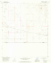
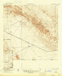
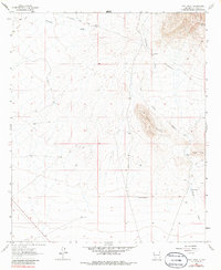
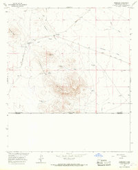
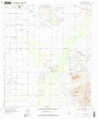
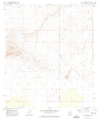
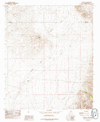
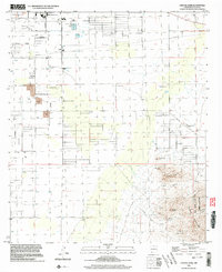
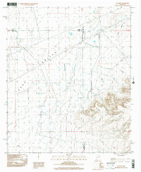
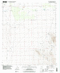
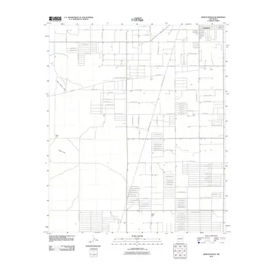
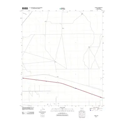
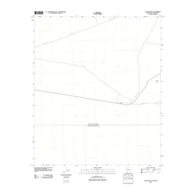
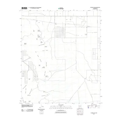
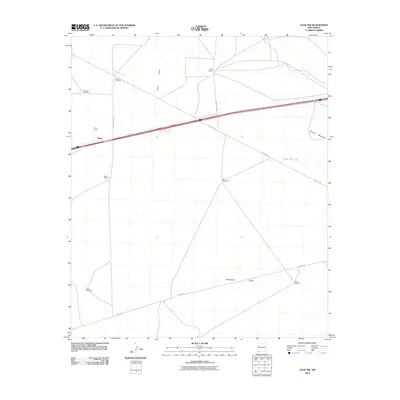
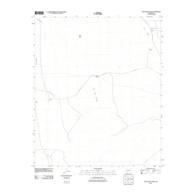
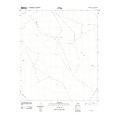
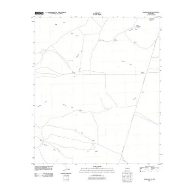
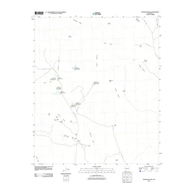
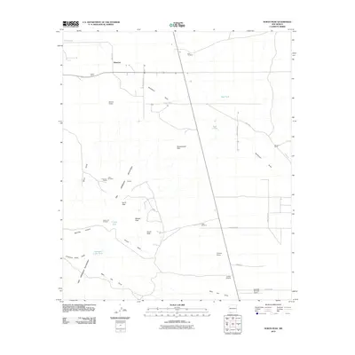
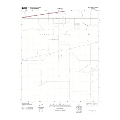
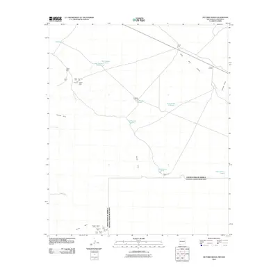
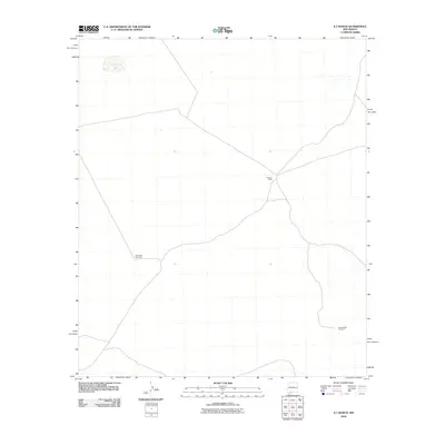
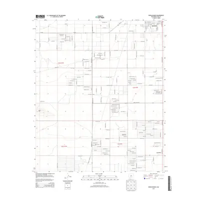
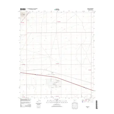
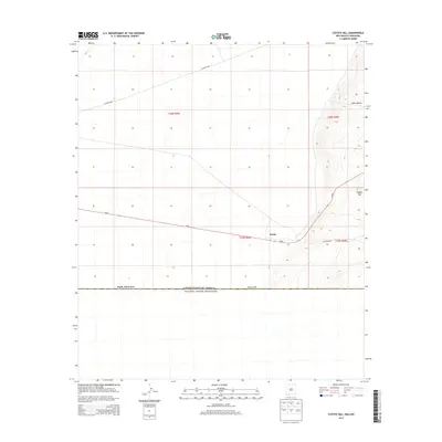
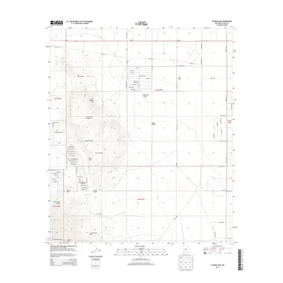
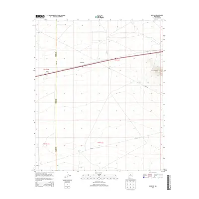
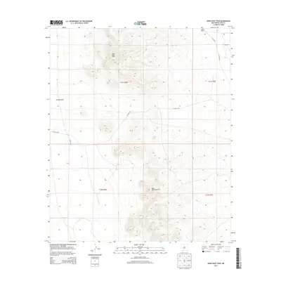
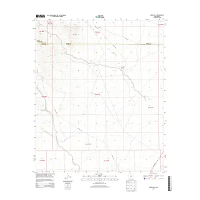
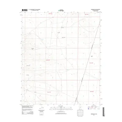
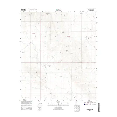
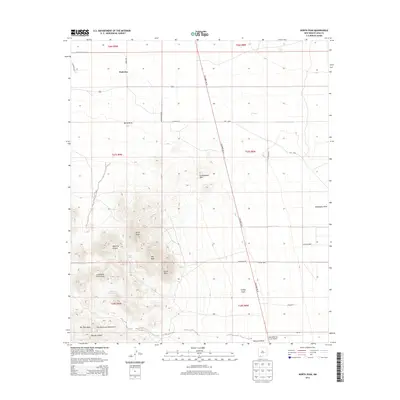
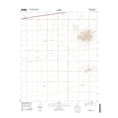
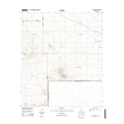
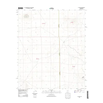
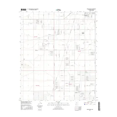
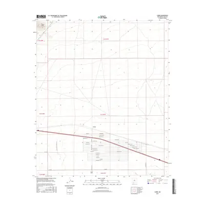
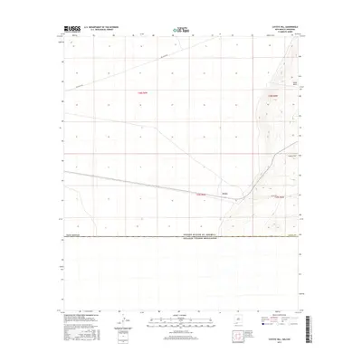
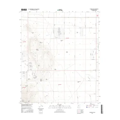
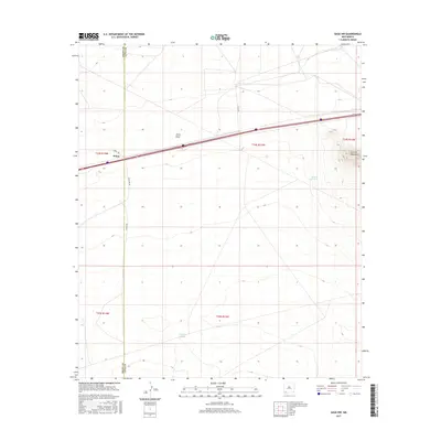
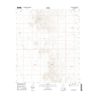
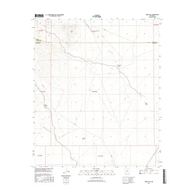
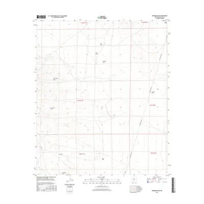
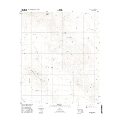
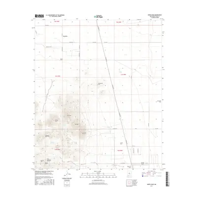
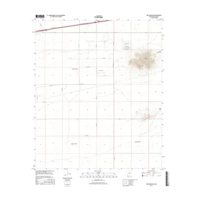
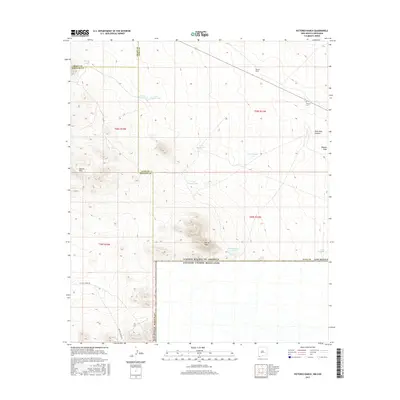
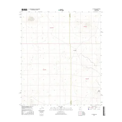
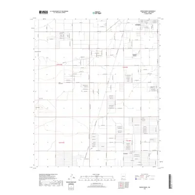
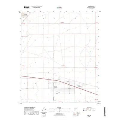
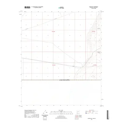
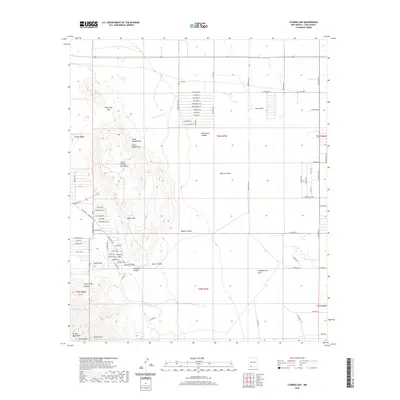
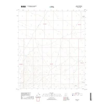
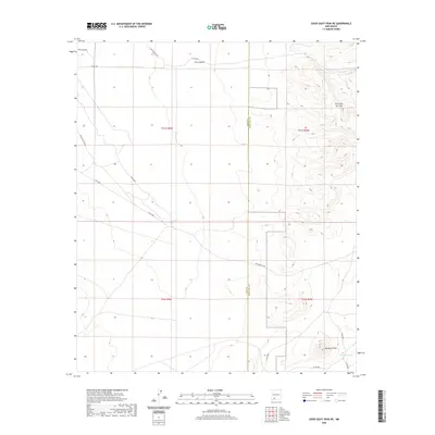
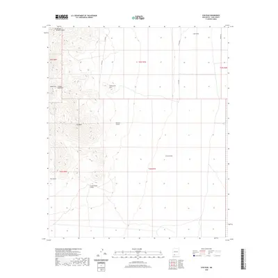
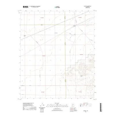
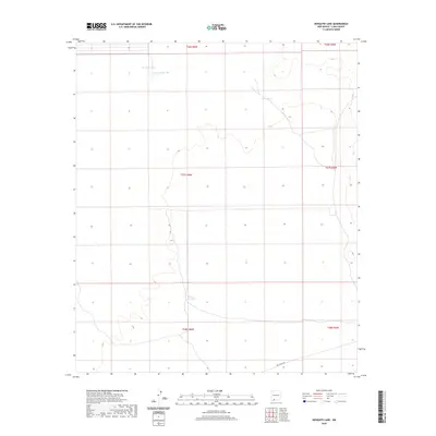
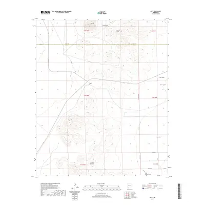
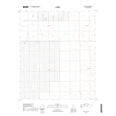
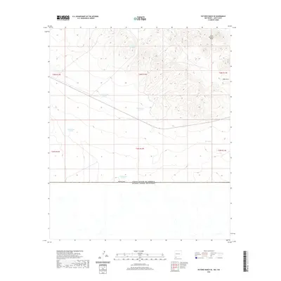
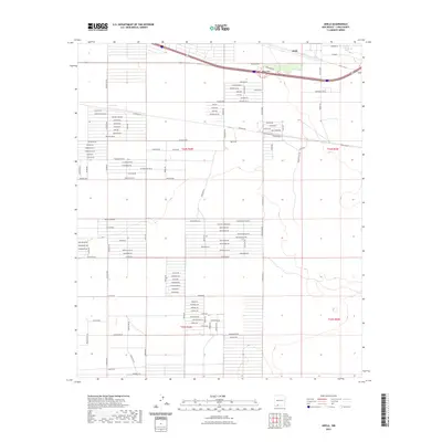
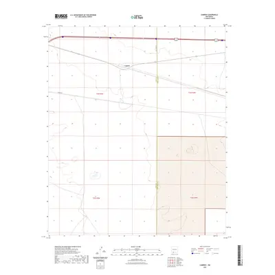
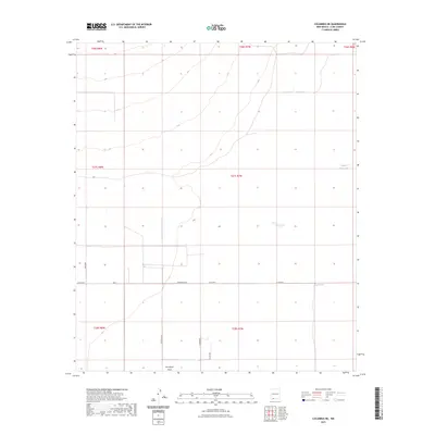
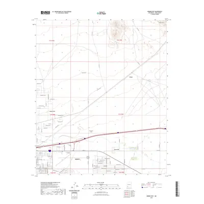
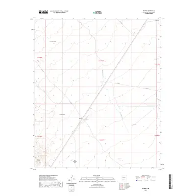
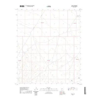
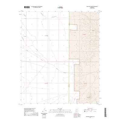
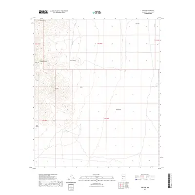
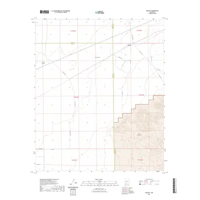
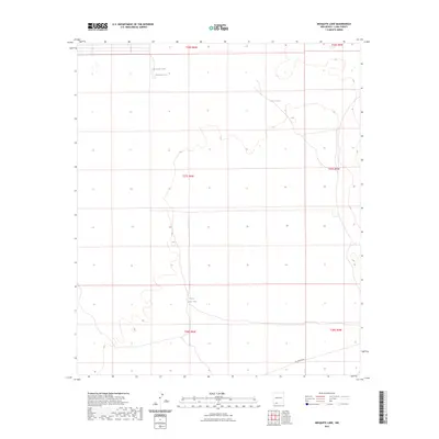
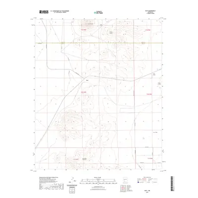
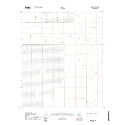
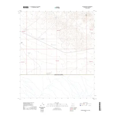
1965 Map of Malpais Hill
USGS Topo · Published 1967About this map
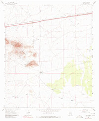
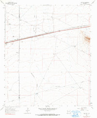
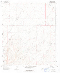
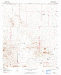
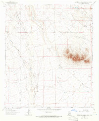
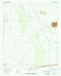
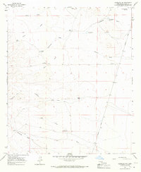
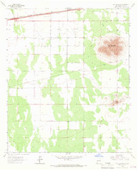
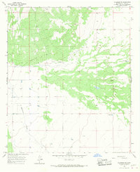
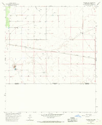
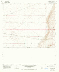
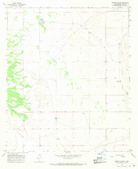
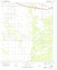
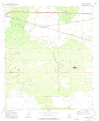
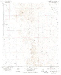
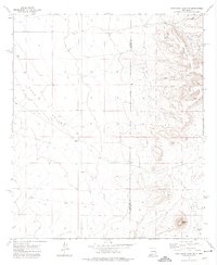
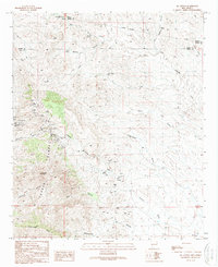
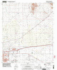
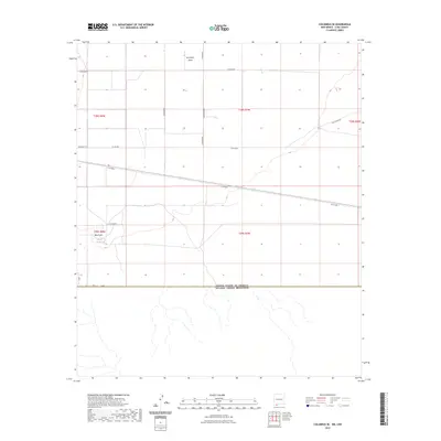
Tres Hermanas Mountains dominate the northeastern corner of this Chihuahuan Desert landscape, with peaks such as Black Top rising sharply above the alluvial plains. This mid-1960s survey captures a sparse ranching and transit corridor along the international border between the United States and Mexico. Human activity is centered on a handful of isolated outposts like Dogtown Ranch, Edwards Ranch, and Line Ranch, all dependent on scattered water sources such as Simpson Well and Hoppy Tank.
Find a feature on this map
22 named features on this map. Tap any name to fly to it.
Don’t see what you’re looking for? This feature index may not catch every label — zoom into the map to look around manually.
Map Details
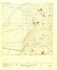
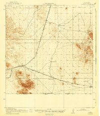
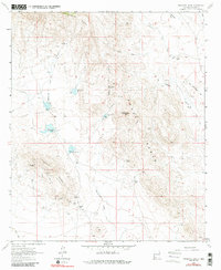
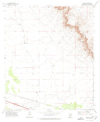
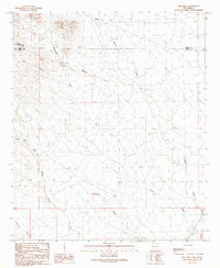
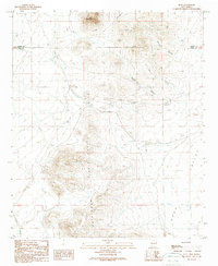
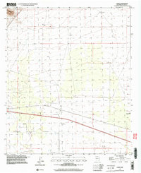
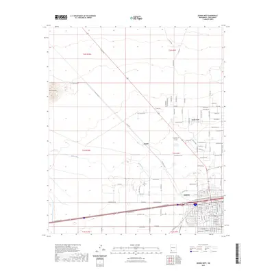
Editions of this 1965 Malpais Hill Map
This is the sole edition of this map. No revisions or reprints were ever made.
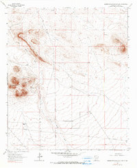
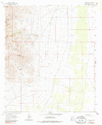
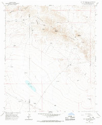
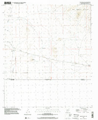
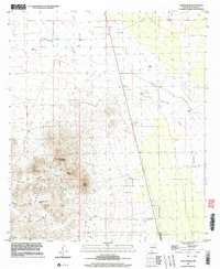
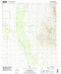
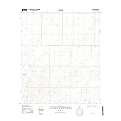
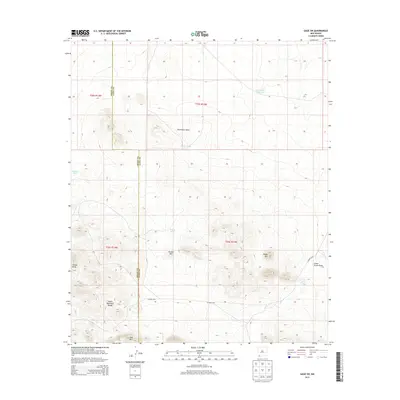
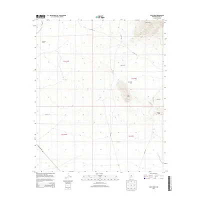
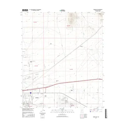
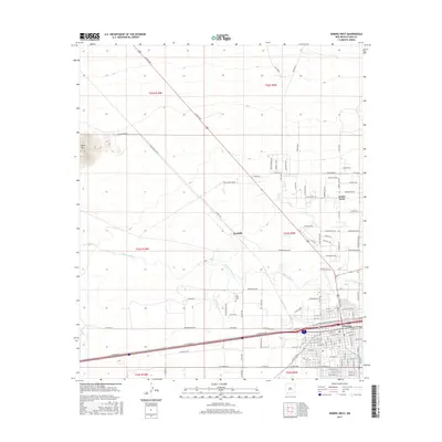
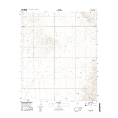
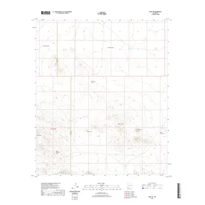
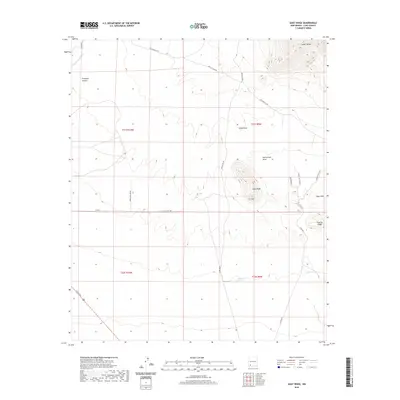
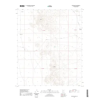
Historical Maps of Mimbres Through Time
331 maps found
1917 Camel Mountain
Luna County, NM
1917 Hermanas
Luna County, NM
1918 Hermanas
Luna County, NM
1918 Victorio
Luna County, NM
1943 Hermanas
Luna County, NM
1963 Antelope Hill
Luna County, NM
1963 Cow Springs Mountain
Luna County, NM
1963 Gage
Luna County, NM
1963 Gage NW
Luna County, NM
1963 Gage SE
Luna County, NM
1963 Gage SW
Luna County, NM
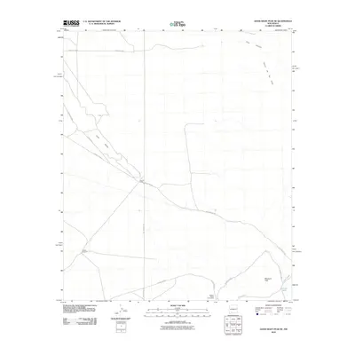
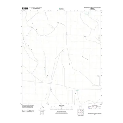
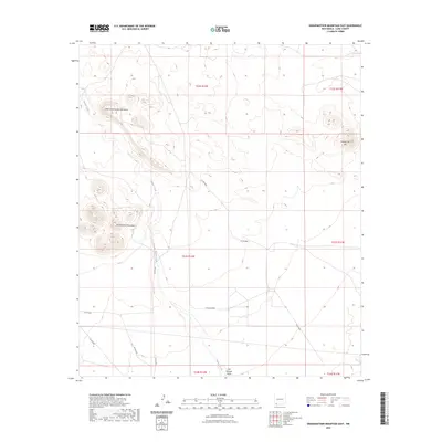
1963 Grandmother Mountain West
Luna County, NM
1964 Deming West
Luna County, NM
1964 Florida Gap
Luna County, NM
1964 Florida
Luna County, NM
1964 Goat Ridge
Luna County, NM
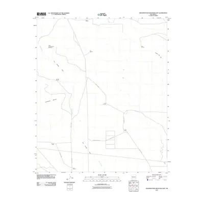
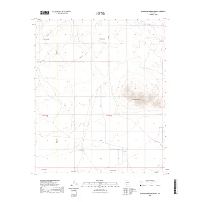
1964 Grandmother Mountain East
Luna County, NM
1964 Gym Peak
Luna County, NM
1964 Hat Top Mountain
Luna County, NM
1964 Hermanas
Luna County, NM
1964 Massacre Peak
Luna County, NM
1964 Spalding
Luna County, NM
1964 Victorio Ranch SE
Luna County, NM
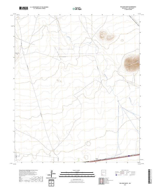
1964 Williams Ranch
Luna County, NM
1965 Bisbee Hills
Luna County, NM
1965 Bowlin Ranch
Luna County, NM
1965 Camel Mountain
Luna County, NM
1965 Capitol Dome
Luna County, NM
1965 Carne
Luna County, NM
1965 Deming East
Luna County, NM
1965 Flying W Mountain
Luna County, NM
1965 Hermanas NW
Luna County, NM
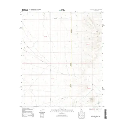
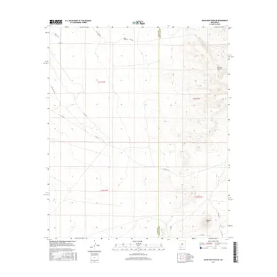
1965 Malpais Hill
Luna County, NM
1965 Midway Butte
Luna County, NM
1965 North PeAk
Luna County, NM
1965 P O L Ranch
Luna County, NM
1965 Red Mountain
Luna County, NM
1965 South Peak
Luna County, NM
1965 Victorio Ranch
Luna County, NM
1965 West Lime Hills
Luna County, NM
1966 Columbus NE
Luna County, NM
1966 Columbus SE
Luna County, NM
1966 Coyote Hill
Luna County, NM
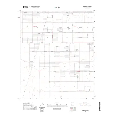
1966 Mesquite Lake
Luna County, NM
1972 Akela
Luna County, NM
1972 Cambray
Luna County, NM
1972 Good Sight Peak
Luna County, NM
1972 Good Sight Peak NE
Luna County, NM
1972 Lazy E Ranch
Luna County, NM
1972 Myndus
Luna County, NM
1972 Sibley Hole
Luna County, NM
1972 X-7 Ranch
Luna County, NM
1985 Dwyer SE
Luna County, NM
1989 Greg Hills
Luna County, NM

1989 Hockett
Luna County, NM
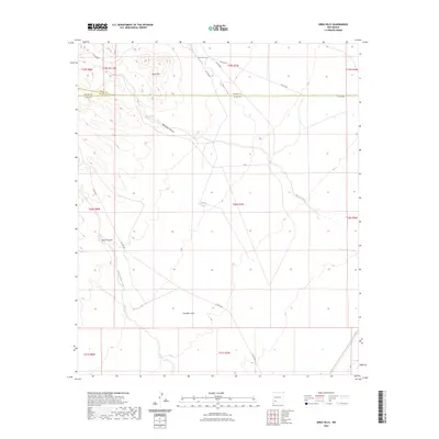
1989 Nutt
Luna County, NM
1989 Ok Canyon
Luna County, NM

1996 Bowlin Ranch
Luna County, NM
1996 Capitol Dome
Luna County, NM
1996 Carne
Luna County, NM
1996 Columbus NE
Luna County, NM
1996 Columbus SE
Luna County, NM
1996 Deming East
Luna County, NM
1996 Deming West
Luna County, NM
1996 Florida Gap
Luna County, NM
1996 Gym Peak
Luna County, NM
1996 Hockett
Luna County, NM
1996 Malpais Hill
Luna County, NM
1996 North Peak
Luna County, NM
1996 South Peak
Luna County, NM
1996 West Lime Hills
Luna County, NM
2010 Akela
Luna County, NM
2010 Antelope Hill
Luna County, NM
2010 Bisbee Hills
Luna County, NM
2010 Bowlin Ranch
Luna County, NM
2010 Cambray
Luna County, NM
2010 Camel Mountain
Luna County, NM
2010 Capitol Dome
Luna County, NM
2010 Carne
Luna County, NM
2010 Columbus NE
Luna County, NM
2010 Columbus SE
Luna County, NM
2010 Cow Springs Mountain
Luna County, NM
2010 Coyote Hill
Luna County, NM
2010 Deming East
Luna County, NM
2010 Deming West
Luna County, NM
2010 Dwyer SE
Luna County, NM
2010 Florida Gap
Luna County, NM
2010 Florida
Luna County, NM
2010 Flying W Mountain
Luna County, NM
2010 Gage
Luna County, NM
2010 Gage NW
Luna County, NM
2010 Gage SE
Luna County, NM
2010 Gage SW
Luna County, NM
2010 Goat Ridge
Luna County, NM
2010 Good Sight Peak
Luna County, NM
2010 Good Sight Peak NE
Luna County, NM
2010 Grandmother Mountain East
Luna County, NM
2010 Grandmother Mountain West
Luna County, NM
2010 Greg Hills
Luna County, NM
2010 Gym Peak
Luna County, NM
2010 Hat Top Mountain
Luna County, NM
2010 Hermanas
Luna County, NM
2010 Hermanas NW
Luna County, NM
2010 Hockett
Luna County, NM
2010 Lazy E Ranch
Luna County, NM
2010 Malpais Hill
Luna County, NM
2010 Massacre Peak
Luna County, NM
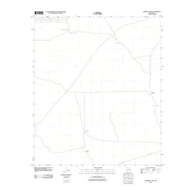
2010 Mesquite Lake
Luna County, NM
2010 Midway Butte
Luna County, NM
2010 Myndus
Luna County, NM
2010 North Peak
Luna County, NM
2010 Nutt
Luna County, NM
2010 OK Canyon
Luna County, NM
2010 P O L Ranch
Luna County, NM
2010 Red Mountain
Luna County, NM
2010 Sibley Hole
Luna County, NM
2010 South Peak
Luna County, NM
2010 Spalding
Luna County, NM
2010 Victorio Ranch
Luna County, NM
2010 Victorio Ranch SE
Luna County, NM
2010 West Lime Hills
Luna County, NM
2010 Williams Ranch
Luna County, NM
2010 X-7 Ranch
Luna County, NM
2013 Akela
Luna County, NM
2013 Antelope Hill
Luna County, NM
2013 Bisbee Hills
Luna County, NM
2013 Bowlin Ranch
Luna County, NM
2013 Cambray
Luna County, NM
2013 Camel Mountain
Luna County, NM
2013 Capitol Dome
Luna County, NM
2013 Carne
Luna County, NM
2013 Columbus NE
Luna County, NM
2013 Columbus SE
Luna County, NM
2013 Cow Springs Mountain
Luna County, NM
2013 Coyote Hill
Luna County, NM
2013 Deming East
Luna County, NM
2013 Deming West
Luna County, NM
2013 Dwyer SE
Luna County, NM
2013 Florida Gap
Luna County, NM
2013 Florida
Luna County, NM
2013 Flying W Mountain
Luna County, NM
2013 Gage
Luna County, NM
2013 Gage NW
Luna County, NM
2013 Gage SE
Luna County, NM
2013 Gage SW
Luna County, NM
2013 Goat Ridge
Luna County, NM
2013 Good Sight Peak
Luna County, NM
2013 Good Sight Peak NE
Luna County, NM
2013 Grandmother Mountain East
Luna County, NM
2013 Grandmother Mountain West
Luna County, NM
2013 Greg Hills
Luna County, NM
2013 Gym Peak
Luna County, NM
2013 Hat Top Mountain
Luna County, NM
2013 Hermanas
Luna County, NM
2013 Hermanas NW
Luna County, NM
2013 Hockett
Luna County, NM
2013 Lazy E Ranch
Luna County, NM
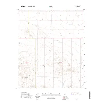
2013 Malpais Hill
Luna County, NM
2013 Massacre Peak
Luna County, NM
2013 Mesquite Lake
Luna County, NM
2013 Midway Butte
Luna County, NM
2013 Myndus
Luna County, NM
2013 North Peak
Luna County, NM
2013 Nutt
Luna County, NM
2013 OK Canyon
Luna County, NM
2013 P O L Ranch
Luna County, NM
2013 Red Mountain
Luna County, NM
2013 Sibley Hole
Luna County, NM
2013 South Peak
Luna County, NM
2013 Spalding
Luna County, NM
2013 Victorio Ranch
Luna County, NM
2013 Victorio Ranch SE
Luna County, NM
2013 West Lime Hills
Luna County, NM
2013 Williams Ranch
Luna County, NM
2013 X-7 Ranch
Luna County, NM
2017 Akela
Luna County, NM
2017 Antelope Hill
Luna County, NM
2017 Bisbee Hills
Luna County, NM
2017 Bowlin Ranch
Luna County, NM
2017 Cambray
Luna County, NM
2017 Camel Mountain
Luna County, NM
2017 Capitol Dome
Luna County, NM
2017 Carne
Luna County, NM
2017 Columbus NE
Luna County, NM
2017 Columbus SE
Luna County, NM
2017 Cow Springs Mountain
Luna County, NM
2017 Coyote Hill
Luna County, NM
2017 Deming East
Luna County, NM
2017 Deming West
Luna County, NM
2017 Dwyer SE
Luna County, NM
2017 Florida Gap
Luna County, NM
2017 Florida
Luna County, NM
2017 Flying W Mountain
Luna County, NM
2017 Gage
Luna County, NM
2017 Gage NW
Luna County, NM
2017 Gage SE
Luna County, NM
2017 Gage SW
Luna County, NM
2017 Goat Ridge
Luna County, NM
2017 Good Sight Peak
Luna County, NM
2017 Good Sight Peak NE
Luna County, NM
2017 Grandmother Mountain East
Luna County, NM
2017 Grandmother Mountain West
Luna County, NM
2017 Greg Hills
Luna County, NM
2017 Gym Peak
Luna County, NM
2017 Hat Top Mountain
Luna County, NM
2017 Hermanas
Luna County, NM
2017 Hermanas NW
Luna County, NM
2017 Hockett
Luna County, NM
2017 Lazy E Ranch
Luna County, NM
2017 Malpais Hill
Luna County, NM
2017 Massacre Peak
Luna County, NM
2017 Mesquite Lake
Luna County, NM
2017 Midway Butte
Luna County, NM
2017 Myndus
Luna County, NM
2017 North Peak
Luna County, NM
2017 Nutt
Luna County, NM
2017 OK Canyon
Luna County, NM
2017 P O L Ranch
Luna County, NM
2017 Red Mountain
Luna County, NM
2017 Sibley Hole
Luna County, NM
2017 South Peak
Luna County, NM
2017 Spalding
Luna County, NM
2017 Victorio Ranch
Luna County, NM
2017 Victorio Ranch SE
Luna County, NM
2017 West Lime Hills
Luna County, NM
2017 Williams Ranch
Luna County, NM
2017 X-7 Ranch
Luna County, NM
2020 Akela
Luna County, NM
2020 Antelope Hill
Luna County, NM
2020 Bisbee Hills
Luna County, NM
2020 Bowlin Ranch
Luna County, NM
2020 Cambray
Luna County, NM
2020 Camel Mountain
Luna County, NM
2020 Capitol Dome
Luna County, NM
2020 Carne
Luna County, NM
2020 Columbus NE
Luna County, NM
2020 Columbus SE
Luna County, NM
2020 Cow Springs Mountain
Luna County, NM
2020 Coyote Hill
Luna County, NM
2020 Deming East
Luna County, NM
2020 Deming West
Luna County, NM
2020 Dwyer SE
Luna County, NM
2020 Florida Gap
Luna County, NM
2020 Florida
Luna County, NM

2020 Flying W Mountain
Luna County, NM
2020 Gage
Luna County, NM
2020 Gage NW
Luna County, NM
2020 Gage SE
Luna County, NM
2020 Gage SW
Luna County, NM
2020 Goat Ridge
Luna County, NM
2020 Good Sight Peak
Luna County, NM
2020 Good Sight Peak NE
Luna County, NM
2020 Grandmother Mountain East
Luna County, NM
2020 Grandmother Mountain West
Luna County, NM
2020 Greg Hills
Luna County, NM
2020 Gym Peak
Luna County, NM
2020 Hat Top Mountain
Luna County, NM
2020 Hermanas
Luna County, NM
2020 Hermanas NW
Luna County, NM
2020 Hockett
Luna County, NM
2020 Lazy E Ranch
Luna County, NM
2020 Malpais Hill
Luna County, NM
2020 Massacre Peak
Luna County, NM
2020 Mesquite Lake
Luna County, NM
2020 Midway Butte
Luna County, NM
2020 Myndus
Luna County, NM
2020 North Peak
Luna County, NM
2020 Nutt
Luna County, NM
2020 OK Canyon
Luna County, NM
2020 P O L Ranch
Luna County, NM
2020 Red Mountain
Luna County, NM
2020 Sibley Hole
Luna County, NM
2020 South Peak
Luna County, NM
2020 Spalding
Luna County, NM
2020 Victorio Ranch
Luna County, NM
2020 Victorio Ranch SE
Luna County, NM
2020 West Lime Hills
Luna County, NM
2020 Williams Ranch
Luna County, NM
2020 X-7 Ranch
Luna County, NM
2023 Akela
Luna County, NM
2023 Antelope Hill
Luna County, NM
2023 Bisbee Hills
Luna County, NM
2023 Bowlin Ranch
Luna County, NM
2023 Cambray
Luna County, NM
2023 Camel Mountain
Luna County, NM
2023 Capitol Dome
Luna County, NM
2023 Carne
Luna County, NM
2023 Columbus NE
Luna County, NM
2023 Columbus SE
Luna County, NM
2023 Cow Springs Mountain
Luna County, NM
2023 Coyote Hill
Luna County, NM
2023 Deming East
Luna County, NM
2023 Deming West
Luna County, NM
2023 Dwyer SE
Luna County, NM
2023 Florida Gap
Luna County, NM
2023 Florida
Luna County, NM
2023 Flying W Mountain
Luna County, NM
2023 Gage
Luna County, NM
2023 Gage NW
Luna County, NM
2023 Gage SE
Luna County, NM
2023 Gage SW
Luna County, NM
2023 Goat Ridge
Luna County, NM
2023 Good Sight Peak
Luna County, NM
2023 Good Sight Peak NE
Luna County, NM
2023 Grandmother Mountain East
Luna County, NM
2023 Grandmother Mountain West
Luna County, NM
2023 Greg Hills
Luna County, NM
2023 Gym Peak
Luna County, NM
2023 Hat Top Mountain
Luna County, NM
2023 Hermanas
Luna County, NM
2023 Hermanas NW
Luna County, NM
2023 Hockett
Luna County, NM
2023 Lazy E Ranch
Luna County, NM
2023 Malpais Hill
Luna County, NM
2023 Massacre Peak
Luna County, NM
2023 Mesquite Lake
Luna County, NM
2023 Midway Butte
Luna County, NM
2023 Myndus
Luna County, NM
2023 North Peak
Luna County, NM
2023 Nutt
Luna County, NM
2023 OK Canyon
Luna County, NM
2023 P O L Ranch
Luna County, NM
2023 Red Mountain
Luna County, NM
2023 Sibley Hole
Luna County, NM
2023 South Peak
Luna County, NM
2023 Spalding
Luna County, NM
2023 Victorio Ranch
Luna County, NM
2023 Victorio Ranch SE
Luna County, NM
2023 West Lime Hills
Luna County, NM
2023 Williams Ranch
Luna County, NM
2023 X-7 Ranch
Luna County, NM