Old Maps of Mimbres, New Mexico
Explore 15 old maps of Mimbres, spanning from 1917 to today. These high-resolution historic maps reveal how streets, neighborhoods, landmarks, and natural features evolved over time — perfect for genealogy, metal detecting, research, and local history exploration.
What you can do with these maps:
- See how Mimbres changed over time: Compare historical maps to modern-day views to trace roads, homesites, rail lines & more.
- View detailed metadata: Each map includes creators, publishers, year, scale, and archive source.
- Overlay maps with satellite & LiDAR: Visualize the past alongside modern tools to explore terrain & human change.
- Trusted historical sources: Maps sourced from the USGS, Library of Congress, and other archives.
- Access maps your way: View online, download high-res files, or order prints for personal or research use.
Start exploring old maps of Mimbres to uncover forgotten places, hidden landmarks, and the deep history beneath your feet.
Mimbres, NM maps
(15)- 1917 Map of Hermanas
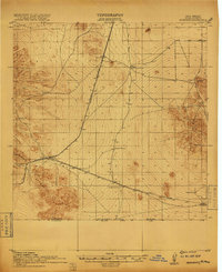 1917 Hermanas1917 Print · USGSSouthern New Mexico was a critical frontier at the time of the Great War, defined by cattle ranching and international border security. Researchers can trace the path of the El Paso and Southwestern Road and locate remote outposts like Dogtown Ranch, Mahoney, and Hermanas.
 - 1918 Map of Hermanas
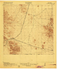 1918 Hermanas1918 Print · USGSThis Luna County borderland is shown just as the ranching and railroad era reached its height along the Mexican border. Genealogists and historians can trace the early cattle operations of Dogtown Ranch and Hoppy Ranch or follow the tracks of the El Paso and Southwestern Road.
 - 1943 Map of Hermanas
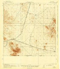 1943 Hermanas1943 Print · USGSThe high desert of Luna County is seen here during the mid-century, anchored by the border crossing and railroad at Hermanas. Genealogists and historians can locate early family outposts like Dogtown Ranch, White House Ranch, and Cox Ranch.
 - 1953 Map of El Paso
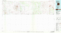
 1953 El Paso1953 Print · USGSEl Paso and the border region are shown here in the early fifties, documenting a landscape of shared river life and rising military presence. Genealogists and historians can trace rail-tied communities like Smeltertown, San Elizario, and the grounds of Fort Bliss.
 - 1959 Map of El Paso, 1968 Print
 1959 El Paso1968 Print · USGSEl Paso and the international borderlands come alive in this mid-century survey of the Chihuahuan Desert. Genealogists and historians can trace rail-side settlements like Columbus and Fabens, locate the sprawling Fort Bliss, and explore the geologically unique Kilbourne Hole.2 unique versions available
 - 1964 Map of El Paso
 1964 El Paso1964 Print · USGSThe El Paso and Juarez borderlands are shown in detail during the mid-sixties, from the urban center to the remote volcanic craters of the West Potrillo Mountains. Trace the rail-and-river network through Asarco Smeltertown, the Fort Bliss Military Reservation, and Columbus.
 - 1965 Map of El Paso
 1965 El Paso1965 Print · USGSEl Paso and the Mesilla Valley are shown in the mid-1960s as the region's military and transport infrastructure expanded. Researchers can trace the irrigation network along the Rio Grande, find old border stations like Columbus, and locate Hueco Tanks.
 - 1965 Map of Malpais Hill, 1967 Print
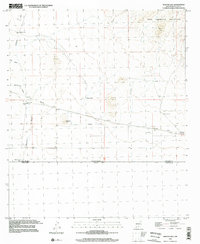
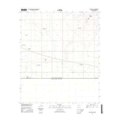
 1965 Malpais Hill1967 Print · USGSThe high desert of Luna County meets the international border in the mid-1960s, showing a remote landscape of isolated ranches and volcanic peaks. Genealogists and historians can trace the Old Railroad Grade past Dogtown Ranch and the foothills of the Tres Hermanas Mountains.
 - 1981 Map of Columbus
 1981 Columbus1981 Print · USGSSouthern New Mexico’s borderlands are detailed here in the early eighties, centered on the historic village of Columbus. Researchers can trace the legacy of mining and transit through the Mahoney Mines, the Old Railroad Grade, and the grounds of Pancho Villa State Park.
 - 1996 Map of Malpais Hill, 2002 Print
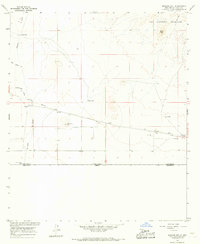
 1996 Malpais Hill2002 Print · USGSThe high desert of the New Mexico-Chihuahua borderlands is captured here in the late twentieth century, showing a landscape shaped by ranching and rail history. Trace the path of the Old Railroad Grade and locate family outposts like Dogtown Ranch and Edwards Ranch.
 - 2010 Map of Malpais Hill, 2010 Print
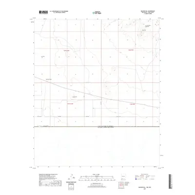
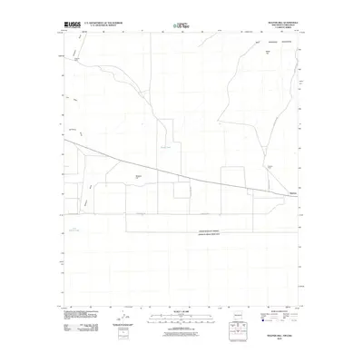 2010 Malpais Hill2010 Print · USGSCovers Mimbres, including Luna County, Ascensión, and other nearby areas
 - 2013 Map of Malpais Hill, 2013 Print
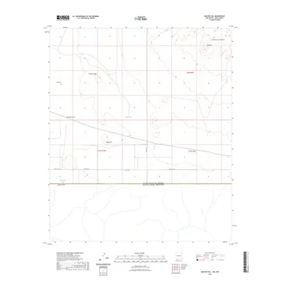
 2013 Malpais Hill2013 Print · USGSCovers Mimbres, including Luna County, Ascensión, and other nearby areas
 - 2017 Map of Malpais Hill, 2017 Print
 2017 Malpais Hill2017 Print · USGSCovers Mimbres, including Luna County, Ascensión, and other nearby areas
 - 2020 Map of Malpais Hill, 2020 Print
 2020 Malpais Hill2020 Print · USGSCovers Mimbres, including Luna County, Ascensión, and other nearby areas
 - 2023 Map of Malpais Hill, 2023 Print
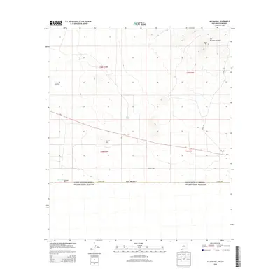
 2023 Malpais Hill2023 Print · USGSThe Chihuahuan Desert landscape of Luna County is captured in this recent survey, showcasing the international border just south of the Tres Hermanas Mountains. Trace the local water infrastructure at Line Ranch Tank and the volcanic prominence of Malpais Hill.
End of results
Showing maps 1-15 of 15
Top cities near Mimbres
Frequently asked questions
- What are the different types of historical maps available for Mimbres?
- What is the oldest map of Mimbres?
- Where can I purchase historical maps of Mimbres for my home or office?
- Where can I download high-res historical maps of Mimbres?
- Are there historical topographic maps available for Mimbres?
- Is there historical aerial imagery available for Mimbres?
- Where are historical maps of Mimbres sourced from?