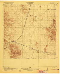
1918 Map of Hermanas
USGS Topo · Published 1918About this map
The El Paso and Southwestern Road dominates this high-desert landscape near the New Mexico border, serving as the primary corridor for movement and settlement during the early twentieth century. The town of Hermanas stands as the central hub of activity, marking a junction point for the railroad and a rare concentration of infrastructure in the arid Luna County terrain. Beyond the rails, the map reveals a scattering of isolated homesteads and cattle operations that characterize the era's ranching economy, including the Dogtown Ranch, Simpson Ranch, and White House Ranch.
Find a feature on this map
20 named features on this map. Tap any name to fly to it.
Don’t see what you’re looking for? This feature index may not catch every label — zoom into the map to look around manually.
Map Details
Editions of this 1918 Hermanas Map
This is the sole edition of this map. No revisions or reprints were ever made.
Other maps of this area
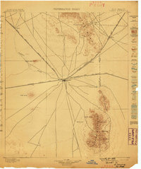
1899 · Deming
USGS Topo · 1:125,000
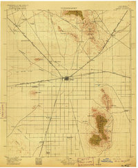
1915 · Deming
USGS Topo · 1:125,000
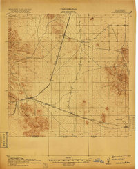
1917 · Hermanas
USGS Topo · 1:62,500
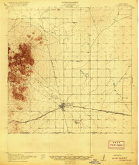
1917 · Columbus
USGS Topo · 1:62,500
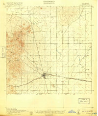
1918 · Columbus
USGS Topo · 1:62,500
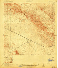
1918 · Victorio
USGS Topo · 1:62,500
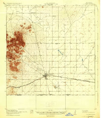
1920 · Columbus
USGS Topo · 1:62,500
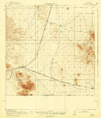
1943 · Hermanas
USGS Topo · 1:62,500
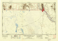
1953 · El Paso
USGS Topo · 1:250,000
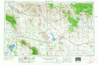
1954 · Silver City
USGS Topo · 1:250,000