
1954 Map of Silver City
USGS Topo · Published 1967About this map
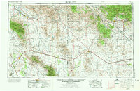
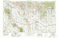
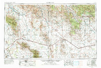
Silver City and the surrounding mining districts of southwest New Mexico and southeast Arizona anchor this mid-century survey. The landscape is defined by the extraction of silver and copper, evidenced by the Ash Peak Mines and the Tyrone Mine, while the Fort Bayard Military Reservation stands as a significant federal installation northeast of the main settlement. The transportation network is built upon the Southern Pacific Railroad, which traverses the Animas Valley and the Sulphur Spring Valley, connecting towns like Lordsburg and Willcox across the state line.
Find a feature on this map
54 named features on this map. Tap any name to fly to it.
Don’t see what you’re looking for? This feature index may not catch every label — zoom into the map to look around manually.
Map Details
Editions of this 1954 Silver City Map
4 editions found
Other maps of this area

1899 · Deming
USGS Topo · 1:125,000

1902 · Clifton
USGS Topo · 1:62,500

1909 · Silver City
USGS Topo · 1:125,000

1910 · Mogollon
USGS Topo · 1:125,000

1911 · Alum Mountain
USGS Topo · 1:125,000

1912 · Mogollon
USGS Topo · 1:125,000

1913 · Alum Mountain
USGS Topo · 1:125,000

1913 · Morenci
USGS Topo · 1:125,000

1915 · Benson
USGS Topo · 1:125,000

1915 · Morenci
USGS Topo · 1:125,000