
1915 Map of Benson
USGS Topo · Published 1915About this map
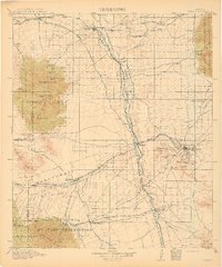
The San Pedro River serves as the central artery for this portion of southern Arizona, where the Southern Pacific and El Paso and Southwestern railroads converge. At the northern junction, Benson appears as a critical rail hub, while to the southeast, the legendary mining district of Tombstone is mapped in detail, including landmarks like Uncle Sam Hill and Military Hill. The map illustrates the region's complex land grant history through the sprawling boundaries of the San Juan de las Boquillas y Nogales and San Rafael del Valle grants.
Find a feature on this map
99 named features on this map. Tap any name to fly to it.
Don’t see what you’re looking for? This feature index may not catch every label — zoom into the map to look around manually.
Map Details
Editions of this 1915 Benson Map
4 editions found
Other maps of this area

1902 · Bisbee
USGS Topo · 1:62,500

1904 · Patagonia
USGS Topo · 1:125,000

1904 · Tucson
USGS Topo · 1:125,000

1905 · Patagonia
USGS Topo · 1:125,000

1905 · Tucson
USGS Topo · 1:125,000

1905 · Nogales
USGS Topo · 1:125,000

1910 · Bisbee
USGS Topo · 1:62,500

1914 · Hereford
USGS Topo · 1:125,000

1916 · Pearce
USGS Topo · 1:125,000

1916 · Douglas
USGS Topo · 1:125,000