
1905 Map of Patagonia
USGS Topo · Published 1905About this map
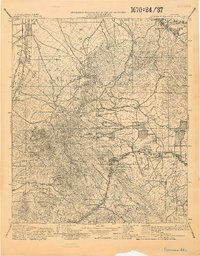
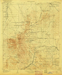
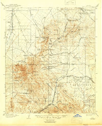
Mining operations and cattle ranches dominate this survey of the Arizona Territory, centered on the rugged corridor between the Santa Rita Mountains and the Empire Mountains. The map documents the high-desert economy of the era, where established settlements like Helvetia and Greaterville served nearby extraction sites including the Total Wreck Mine and Cuprite Mine. This period represents a landscape in transition, where the vast Santa Rita Forest Reserve overlays a network of private homesteads like Empire Ranch and Youngs Ranch.
Find a feature on this map
109 named features on this map. Tap any name to fly to it.
Don’t see what you’re looking for? This feature index may not catch every label — zoom into the map to look around manually.
Map Details
Editions of this 1905 Patagonia Map
4 editions found
Other maps of this area

1904 · Patagonia
USGS Topo · 1:125,000

1904 · Tucson
USGS Topo · 1:125,000

1905 · Tucson
USGS Topo · 1:125,000

1905 · Nogales
USGS Topo · 1:125,000

1914 · Hereford
USGS Topo · 1:125,000

1915 · Benson
USGS Topo · 1:125,000

1920 · Arivaca
USGS Topo · 1:125,000

1921 · Old Glory
USGS Topo · 1:125,000

1922 · Agus Caliente
USGS Topo · 1:62,500

1922 · Sunnyside
USGS Topo · 1:62,500