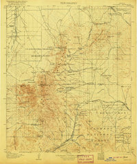
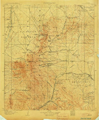
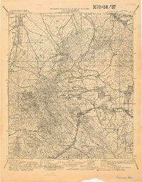
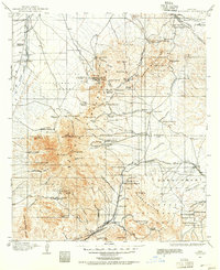
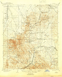
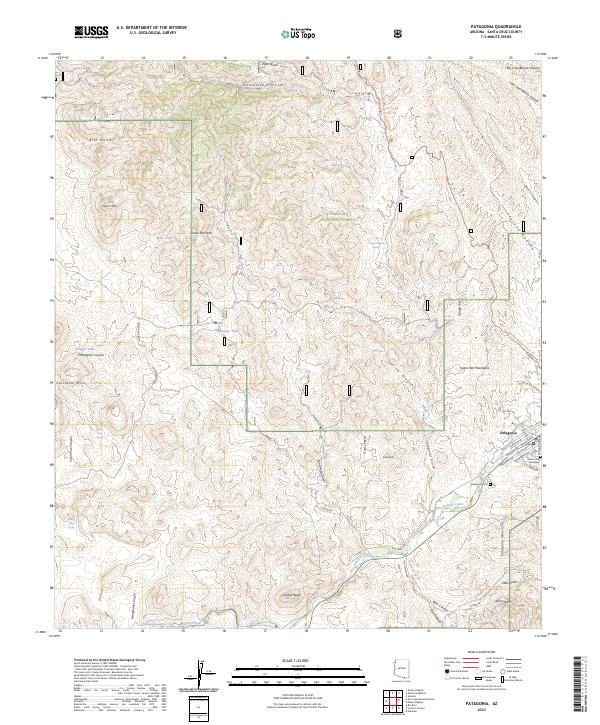
1905 Map of Patagonia
USGS Topo · Published 1920About this map
Cuprite Mine and the Total Wreck Mine anchor a landscape defined by intensive early-century prospecting and ranching across the Empire Mountains and Coronado National Forest. This 1905 survey, reprinted in 1920, reveals a network of isolated mining camps and family-run operations such as Helvetia, Rosemont, and Greaterville. The presence of the Southern Pacific RR and its Sonora Branch highlights the vital connection between these remote mountain mines and the broader territorial economy, with the rail line threading through the settlement of Patagonia and passing near the site of Old Ft Crittenden.
Find a feature on this map
112 named features on this map. Tap any name to fly to it.
Don’t see what you’re looking for? This feature index may not catch every label — zoom into the map to look around manually.
Map Details
Editions of this 1905 Patagonia Map
4 editions found
Historical Maps of Tucson Through Time
9 maps found
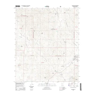
1904 Patagonia
Santa Cruz County, AZ
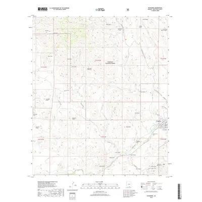
1905 Patagonia
Santa Cruz County, AZ
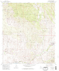
1981 Patagonia
Santa Cruz County, AZ
1996 Patagonia
Santa Cruz County, AZ
2012 Patagonia
Santa Cruz County, AZ
2014 Patagonia
Santa Cruz County, AZ
2018 Patagonia
Santa Cruz County, AZ
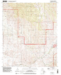
2021 Patagonia
Santa Cruz County, AZ
2023 Patagonia
Santa Cruz County, AZ