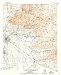
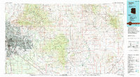
1904 Map of Tucson
USGS Topo · Published 1957About this map
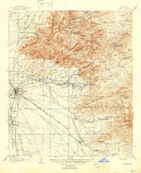
Tucson serves as the central hub of this early twentieth-century landscape, a desert frontier shaped by the Southern Pacific railroad and the seasonal flows of the Santa Cruz River and Rillito Creek. The map documents a period of transition, where the historical footprint of Old Fort Lowell remains a visible landmark northeast of the city. While the valley floor is punctuated by cattle ranches like the Bullock Ranch and Martinezs Ranch, the high elevations of the Santa Catalina Mountains reveal a network of seasonal camps and specialized cabins, including Summerhaven Cabin and Soldiers Camp. To the east, the rugged Tanque Verde Mountains and the newly designated Saguaro National Monument protect a wilderness of dramatic peaks like Mica Mt. and Rincon Peak, where early resource extraction is evidenced by the Loma Verde Mines.
Find a feature on this map
124 named features on this map. Tap any name to fly to it.
Don’t see what you’re looking for? This feature index may not catch every label — zoom into the map to look around manually.
Map Details
Editions of this 1904 Tucson Map
This is the sole edition of this map. No revisions or reprints were ever made.
Historical Maps of Tucson Through Time
20 maps found
1904 Tucson
Pima County, AZ
1905 Tucson
Pima County, AZ
1948 Tucson
Pima County, AZ
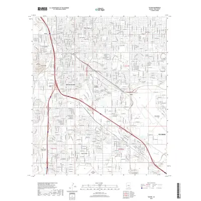
1956 Tucson
Pima County, AZ
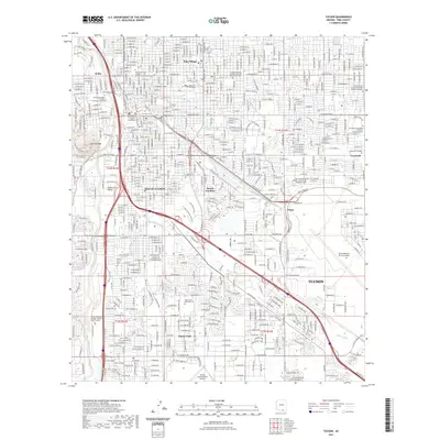
1957 Tucson
Pima County, AZ
1957 Tucson
Pima County, AZ

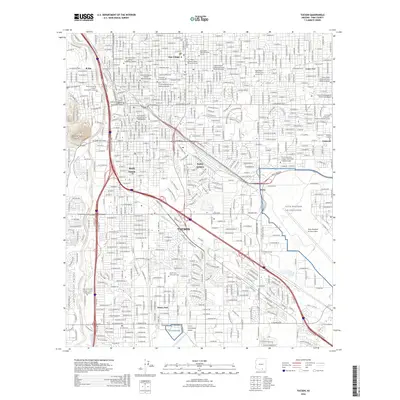
1958 Tucson
Pima County, AZ

1959 Tucson
Pima County, AZ

1962 Tucson
Pima County, AZ

1964 Tucson
Pima County, AZ
1983 Tucson
Pima County, AZ
1992 Tucson
Pima County, AZ
1994 Tucson
Pima County, AZ
1996 Tucson
Pima County, AZ
2011 Tucson
Pima County, AZ
2014 Tucson
Pima County, AZ
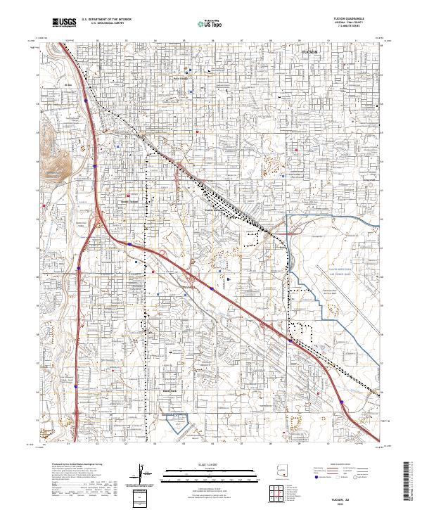
2018 Tucson
Pima County, AZ
2021 Tucson
Pima County, AZ
2023 Tucson
Pima County, AZ
2026 Tucson
Pima County, AZ