
1913 Map of Winkelman
USGS Topo · Published 1913About this map
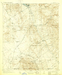
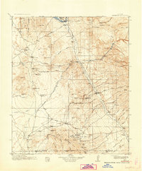
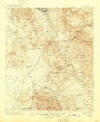
The confluence of the Gila River and the San Pedro River anchors this pre-World War I landscape, where mining and ranching dominated the central Arizona desert. Settled pockets like Winkelman and Dudleyville served as transport hubs for the surrounding peaks of the Tortilla Mts and Black Mts. To the south, the community of Oracle sits near the base of Apache Peak, surrounded by a high concentration of hard-rock extraction sites. Substantial operations such as the Mammoth Mine, Mohawk Mine, and Southern Belle Mine highlight the industrial reach of the era, connected by features like the Smelter Tramway. Educational outposts including Finch School and Arivaipa School reveal the scattered nature of rural life, while numerous family-named landmarks like Romero Ranch and Youngs Ranch provide valuable evidence for genealogical research into the region's early twentieth-century homesteading history.
Find a feature on this map
91 named features on this map. Tap any name to fly to it.
Don’t see what you’re looking for? This feature index may not catch every label — zoom into the map to look around manually.
Map Details
Editions of this 1913 Winkelman Map
4 editions found
Other maps of this area

1900 · Florence
USGS Topo · 1:125,000

1902 · Florence
USGS Topo · 1:125,000

1904 · Tucson
USGS Topo · 1:125,000

1905 · Tucson
USGS Topo · 1:125,000

1910 · Ray
USGS Topo · 1:62,500

1911 · Winkelman
USGS Topo · 1:125,000

1915 · Christmas
USGS Topo · 1:62,500

1917 · Christmas
USGS Topo · 1:62,500

1934 · Tucson Mountains
USGS Topo · 1:125,000

1934 · Newman Peak
USGS Topo · 1:125,000