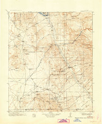
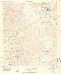
1913 Map of Winkelman
USGS Topo · Published 1942About this map
The confluence of the Gila River and San Pedro River anchors this pre-WWI landscape, where mining operations and remote ranching outposts define the early twentieth-century economy of southern Arizona. Prominent mining efforts are evident at the Mammoth Mine, Ford Mine, and Southern Belle Mine, with a Tramway serving the industrial heights near Mammoth. The presence of small community institutions like Finch School and Caravaipa School reflects a sparse but established population of homesteaders and miners.
Find a feature on this map
80 named features on this map. Tap any name to fly to it.
Don’t see what you’re looking for? This feature index may not catch every label — zoom into the map to look around manually.
Map Details
Editions of this 1913 Winkelman Map
4 editions found

Historical Maps of Saddlebrooke Through Time
10 maps found

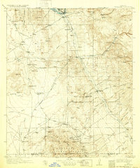
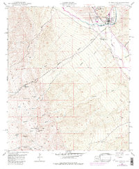
1911 Winkelman
Pinal County, AZ
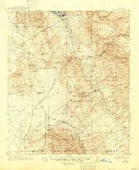
1913 Winkelman
Pinal County, AZ
1949 Winkelman
Pinal County, AZ
1949 Winkelman
Pinal County, AZ
1950 Winkelman
Pinal County, AZ
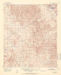
1951 Winkelman
Pinal County, AZ
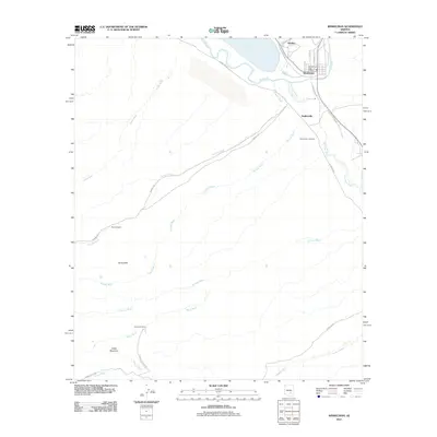
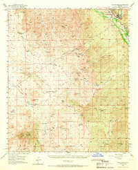
2011 Winkelman
Pinal County, AZ
2014 Winkelman
Pinal County, AZ
2018 Winkelman
Pinal County, AZ
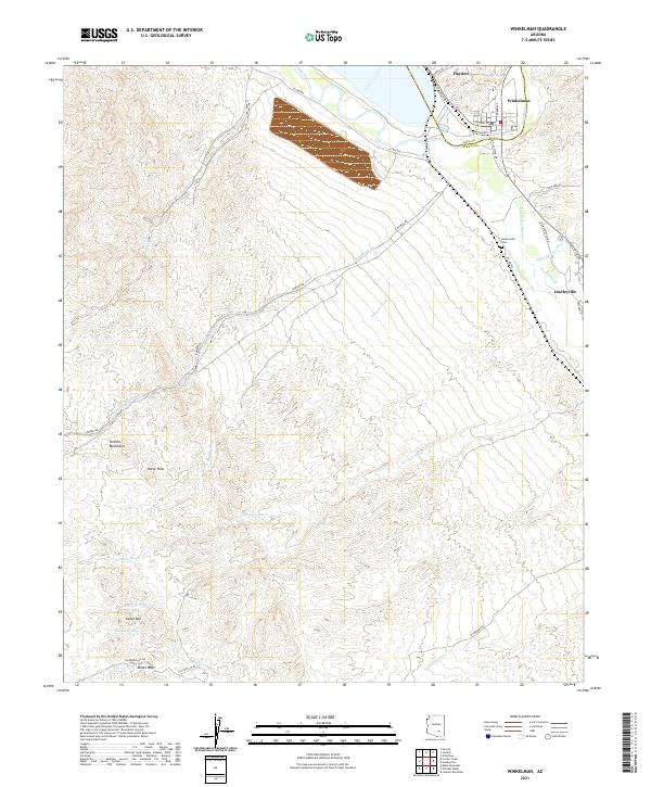
2021 Winkelman
Pinal County, AZ