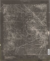
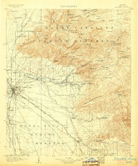
1934 Map of Tucson Mountains
USGS Topo · Published 1934About this map
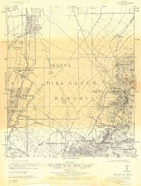
The Papago Indian Reservation dominates the southwestern reaches of this landscape, where early 20th-century desert life was defined by isolated outposts like San Pedro Well and Maisi Ayra Ranch. To the east, the emerging corridor along the Santa Cruz River and Southern Pacific Railroad shows the established rail-side settlements of Marana, Rillito, and Cortaro. This compilation, drafted by N. H. Darton, illustrates the intersection of mountainous mining territory and valley agriculture, with the Arizona Group mines situated near the volcanic slopes of Beehive Mtn. On the periphery of Tucson, landmarks like St Marys Hospital and the Tumamoc Hills provide a clear view of the city's western edge before modern expansion. The map captures a transition as new infrastructure like the Highway to Ajo began to replace older desert tracks.
Find a feature on this map
78 named features on this map. Tap any name to fly to it.
Don’t see what you’re looking for? This feature index may not catch every label — zoom into the map to look around manually.
Map Details
Editions of this 1934 Tucson Mountains Map
This is the sole edition of this map. No revisions or reprints were ever made.
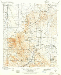
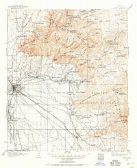
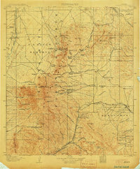
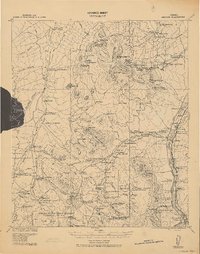
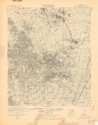
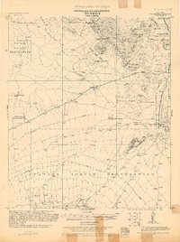
Other maps of this area
1904 · Patagonia
USGS Topo · 1:125,000
1904 · Tucson
USGS Topo · 1:125,000
1905 · Patagonia
USGS Topo · 1:125,000
1905 · Tucson
USGS Topo · 1:125,000

1911 · Winkelman
USGS Topo · 1:125,000

1913 · Winkelman
USGS Topo · 1:125,000
1920 · Arivaca
USGS Topo · 1:125,000
1925 · Samaniego Peak
USGS Topo · 1:62,500
1925 · San Xavier
USGS Topo · 1:62,500
1926 · Helvetia
USGS Topo · 1:62,500