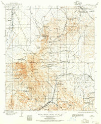
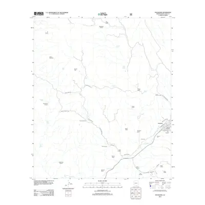
1904 Map of Patagonia
USGS Topo · Published 1955About this map
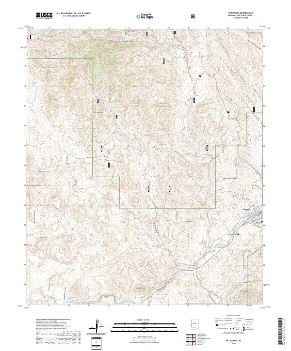
Santa Rita Mountains and the Empire Mountains dominate this 1904 landscape, revealing a period of intense mineral exploration and cattle ranching. The presence of the Total Wreck Mine, Helena Mine, and Cuprite Mine illustrates the mining boom that shaped early Santa Cruz County, supported by hubs like Helvetia and Greaterville. These camps were the lifeblood of the local economy, alongside the Montosa Mill and the Treasure Vault.
Find a feature on this map
113 named features on this map. Tap any name to fly to it.
Don’t see what you’re looking for? This feature index may not catch every label — zoom into the map to look around manually.
Map Details
Editions of this 1904 Patagonia Map
This is the sole edition of this map. No revisions or reprints were ever made.
Historical Maps of Tucson Through Time
9 maps found
1904 Patagonia
Santa Cruz County, AZ
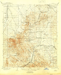
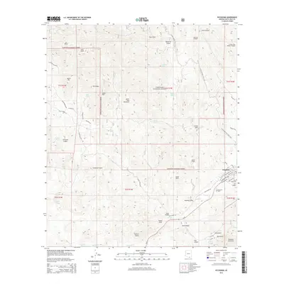
1905 Patagonia
Santa Cruz County, AZ
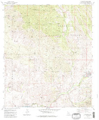
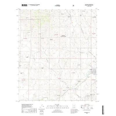
1981 Patagonia
Santa Cruz County, AZ
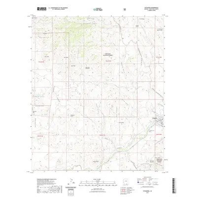
1996 Patagonia
Santa Cruz County, AZ
2012 Patagonia
Santa Cruz County, AZ
2014 Patagonia
Santa Cruz County, AZ
2018 Patagonia
Santa Cruz County, AZ
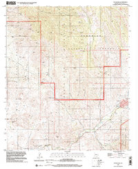
2021 Patagonia
Santa Cruz County, AZ
2023 Patagonia
Santa Cruz County, AZ