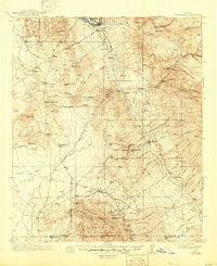
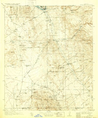
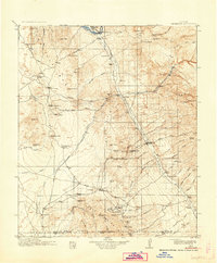
1913 Map of Winkelman
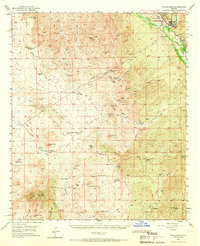
USGS Topo · Published 1946About this map
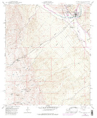
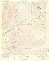
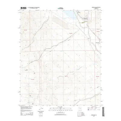
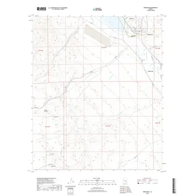
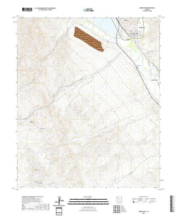
Winkelman and Dudleyville sit at the confluence of the Gila River and the San Pedro River, anchoring a landscape defined by early 20th-century mining and ranching operations. The copper and gold potential of the region is evident in the cluster of heavy industry near Mammoth, where the Mammoth Mine, Mohawk Mine, and Ford Mine operated alongside a specialized Tramway. To the south, the settlement of Oracle serves as a gateway to the Coronado National Forest, surrounded by family-run outposts such as American Flag Ranch and Campo Bonito. These isolated cattle ranches and mining camps were supported by a network of rural schoolhouses, including Finch School and Clark School, providing a rare look at the social infrastructure of the Arizona territory just as it achieved statehood. The terrain is marked by seasonal drainages like Camp Grant Wash and Dodsons Wash, which dictated the routes of the Winkelman Road and Tucson Road.
Find a feature on this map
92 named features on this map. Tap any name to fly to it.
Don’t see what you’re looking for? This feature index may not catch every label — zoom into the map to look around manually.
Map Details
Editions of this 1913 Winkelman Map
4 editions found

Historical Maps of Saddlebrooke Through Time
10 maps found

1911 Winkelman
Pinal County, AZ
1913 Winkelman
Pinal County, AZ
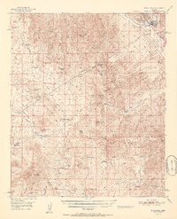
1949 Winkelman
Pinal County, AZ
1949 Winkelman
Pinal County, AZ
1950 Winkelman
Pinal County, AZ
1951 Winkelman
Pinal County, AZ
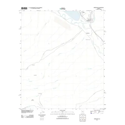
2011 Winkelman
Pinal County, AZ
2014 Winkelman
Pinal County, AZ
2018 Winkelman
Pinal County, AZ
2021 Winkelman
Pinal County, AZ