
1917 Map of Christmas
USGS Topo · Published 1917About this map
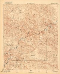
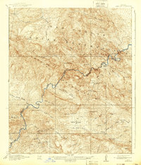
Mining operations and remote ranching outposts define this 1915 survey of the territory bordering the Gila River. The settlement of Christmas serves as a primary focal point, situated near several active mineral extractions including Pools Mine, Two Queens Mine, and Lee Mine. The landscape is divided by the rugged Mescal Mountains and the sprawling White Mountain Indian Reservation to the north, where traditional landmarks like O Ranch and Soda Springs are noted.
Find a feature on this map
55 named features on this map. Tap any name to fly to it.
Don’t see what you’re looking for? This feature index may not catch every label — zoom into the map to look around manually.
Map Details
Editions of this 1917 Christmas Map
3 editions found
Other maps of this area

1901 · Globe
USGS Topo · 1:62,500

1902 · Globe
USGS Topo · 1:62,500

1910 · Ray
USGS Topo · 1:62,500

1911 · Winkelman
USGS Topo · 1:125,000

1913 · Winkelman
USGS Topo · 1:125,000

1915 · Christmas
USGS Topo · 1:62,500

1938 · Klondyke
USGS Topo · 1:48,000

1943 · Klondyke
USGS Topo · 1:62,500

1949 · Holy Joe Peak
USGS Topo · 1:62,500

1949 · Winkelman
USGS Topo · 1:24,000