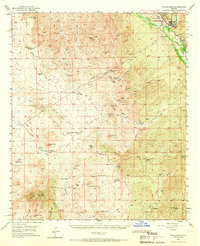
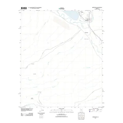
1949 Map of Winkelman
USGS Topo · Published 1960About this map
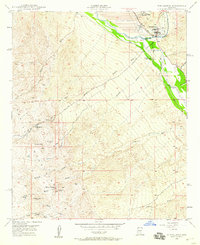
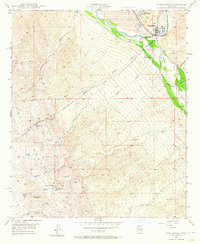
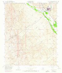
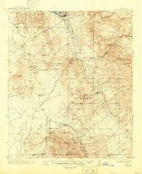
The confluence of the Gila River and San Pedro River anchors this 1949 survey, revealing a landscape defined by industrial copper processing and ranching. The twin towns of Hayden and Winkelman sit at the northern edge, where the Southern Pacific railroad serves a massive Tailings Pond and the Hayden Country Club. This era shows the infrastructure of the mining industry in transition, with several sites already marked as defunct, including the Sample Mine and Antelope Mine.
Find a feature on this map
29 named features on this map. Tap any name to fly to it.
Don’t see what you’re looking for? This feature index may not catch every label — zoom into the map to look around manually.
Map Details
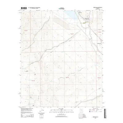
Editions of this 1949 Winkelman Map
4 editions found
Historical Maps of Winkelman Through Time
10 maps found

1911 Winkelman
Pinal County, AZ
1913 Winkelman
Pinal County, AZ
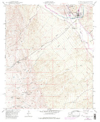
1949 Winkelman
Pinal County, AZ
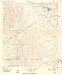
1949 Winkelman
Pinal County, AZ
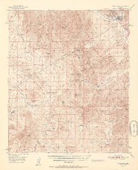
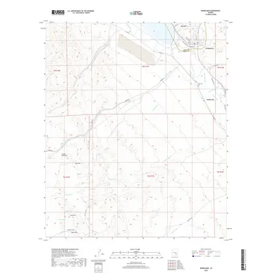
1950 Winkelman
Pinal County, AZ
1951 Winkelman
Pinal County, AZ
2011 Winkelman
Pinal County, AZ
2014 Winkelman
Pinal County, AZ
2018 Winkelman
Pinal County, AZ
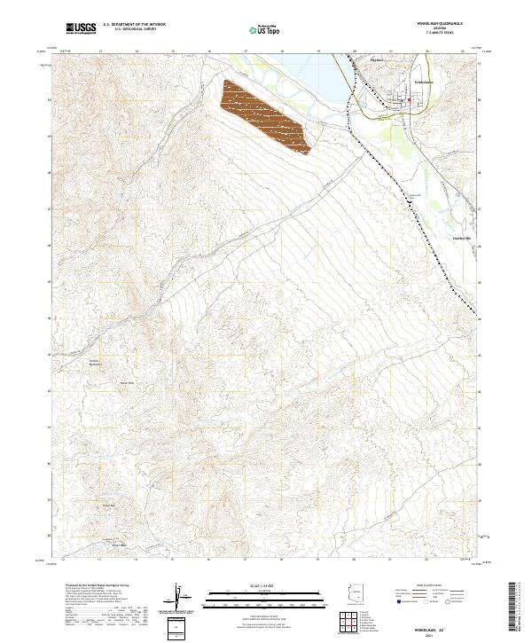
2021 Winkelman
Pinal County, AZ