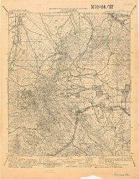
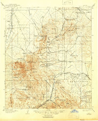
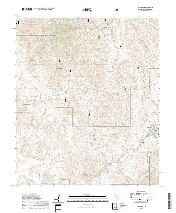
1905 Map of Patagonia
USGS Topo · Published 1916About this map
The Santa Cruz River valley and its surrounding highlands are captured here during a pivotal era of mining and military oversight. The southern reaches are anchored by Old Ft Crittenden and the nearby settlement of Crittenden, while the higher elevations of the Santa Rita Mountains reveal a landscape shaped by mineral extraction. Settlements like Helvetia, Rosemont, and Greaterville appear alongside significant operations such as the Total Wreck Mine and the Mansfield Mines, reflecting the intensity of copper and silver prospecting in the early twentieth century.
Find a feature on this map
106 named features on this map. Tap any name to fly to it.
Don’t see what you’re looking for? This feature index may not catch every label — zoom into the map to look around manually.
Map Details
Editions of this 1905 Patagonia Map
4 editions found
Historical Maps of Tucson Through Time
9 maps found
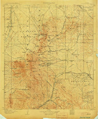
1904 Patagonia
Santa Cruz County, AZ
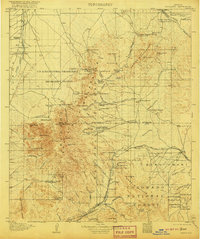
1905 Patagonia
Santa Cruz County, AZ
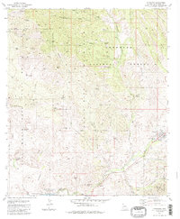
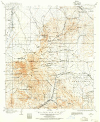
1981 Patagonia
Santa Cruz County, AZ
1996 Patagonia
Santa Cruz County, AZ
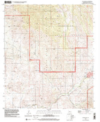
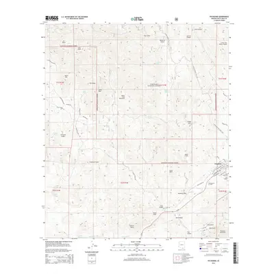
2012 Patagonia
Santa Cruz County, AZ
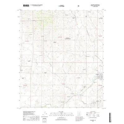
2014 Patagonia
Santa Cruz County, AZ
2018 Patagonia
Santa Cruz County, AZ
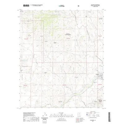
2021 Patagonia
Santa Cruz County, AZ
2023 Patagonia
Santa Cruz County, AZ