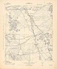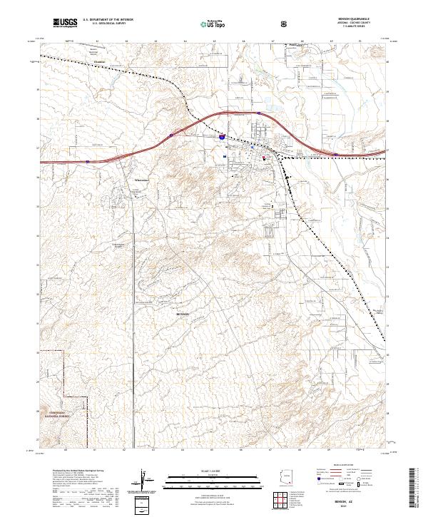
1915 Map of Benson
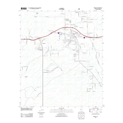
USGS Topo · Published 1937About this map
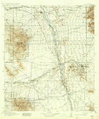
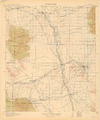
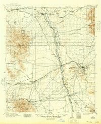
The San Pedro River corridor serves as the primary artery for settlement and commerce in this corner of the Arizona territory. In the years just before the First World War, the Southern Pacific and the El Paso and Southwestern railroads define the movement of cattle and minerals through high-desert hubs like Benson and the mining center of Tombstone. While Tombstone sits east in the foothills, the southern portion of the sheet is dominated by the Fort Huachuca Military Reservation, including the For. Huachuca post and its associated Target Range. Local ranching life is evident in family-named landmarks such as Dan Mathes Ranch and Haberstock Ranch, while the convergence of the Babocomari River and the San Pedro creates a junction for short-lived rail stops and river settlements like Fairbank and Charleston.
Find a feature on this map
72 named features on this map. Tap any name to fly to it.
Don’t see what you’re looking for? This feature index may not catch every label — zoom into the map to look around manually.
Map Details
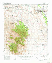
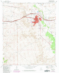
Editions of this 1915 Benson Map
4 editions found

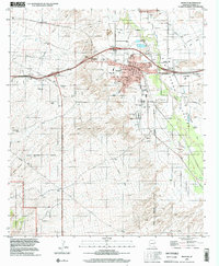
Historical Maps of Sierra Vista Through Time
9 maps found