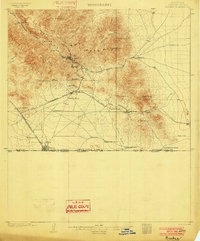
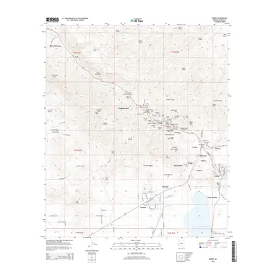
1902 Map of Bisbee
USGS Topo · Published 1902About this map
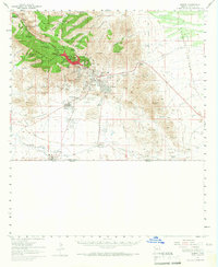
Bisbee and its surrounding copper mining district are depicted here during a period of rapid industrial expansion shortly after the turn of the century. The map shows the intricate relationship between the rugged Mule Pass Mts and the critical transportation networks of the El Paso and Southwestern R. R., which linked the mines to the international border. The survey identifies numerous family-named properties such as Herrons Ranch and Forrests Ranch, illustrating the agricultural footprint that supported the booming mining camps. To the south, the settlement of Naco sits directly on the United States Mexico boundary line, serving as a vital railroad junction. This documentation provides a clear view of the area's early 20th-century economy, where isolated operations like the Glance Mine and waypoints like the Halfway House connected the high desert peaks to the burgeoning border trade.
Find a feature on this map
40 named features on this map. Tap any name to fly to it.
Don’t see what you’re looking for? This feature index may not catch every label — zoom into the map to look around manually.
Map Details
Editions of this 1902 Bisbee Map
2 editions found
Historical Maps of Lowell Through Time
11 maps found
1902 Bisbee
Cochise County, AZ
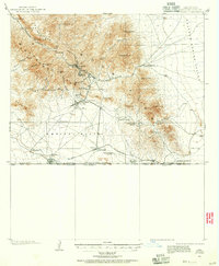
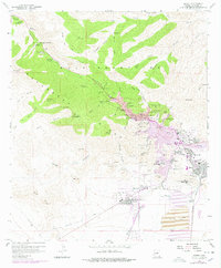
1910 Bisbee
Cochise County, AZ
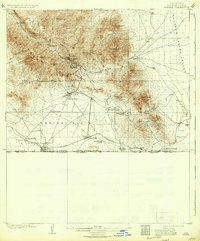
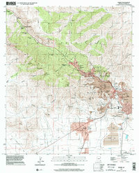
1927 Bisbee
Cochise County, AZ

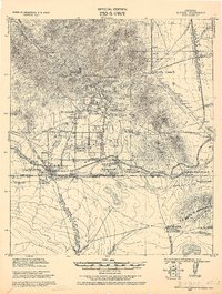
1933 Bisbee
Cochise County, AZ
1958 Bisbee
Cochise County, AZ
1958 Bisbee
Cochise County, AZ
1996 Bisbee
Cochise County, AZ
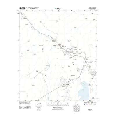
2011 Bisbee
Cochise County, AZ
2014 Bisbee
Cochise County, AZ
2018 Bisbee
Cochise County, AZ
2021 Bisbee
Cochise County, AZ