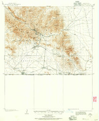
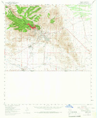
1902 Map of Bisbee
USGS Topo · Published 1956About this map
The Mule Mountains dominate this early Arizona landscape, where the booming copper center of Bisbee is shown at a pivotal moment of expansion. Settled deep within the canyons, the town's geography is defined by Brewery Gulch and Tombstone Canyon, while industrial sites like the Easter Sunday Mine and Glance Mine highlight the era's mineral focus. The map traces the essential transport link provided by the Southwestern RR, connecting the high-altitude camps to the border crossing at Naco on the United States Mexico boundary line.
Find a feature on this map
52 named features on this map. Tap any name to fly to it.
Don’t see what you’re looking for? This feature index may not catch every label — zoom into the map to look around manually.
Map Details
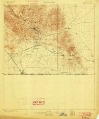
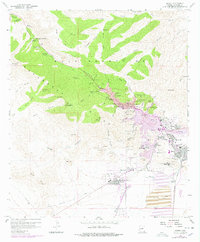
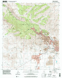
Editions of this 1902 Bisbee Map
2 editions found
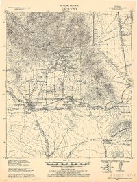
Historical Maps of Lowell Through Time
11 maps found
1902 Bisbee
Cochise County, AZ
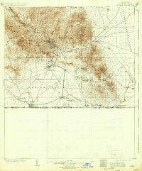
1910 Bisbee
Cochise County, AZ
1927 Bisbee
Cochise County, AZ

1933 Bisbee
Cochise County, AZ
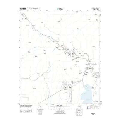
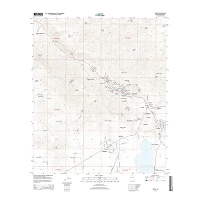
1958 Bisbee
Cochise County, AZ
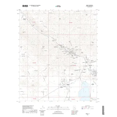
1958 Bisbee
Cochise County, AZ
1996 Bisbee
Cochise County, AZ
2011 Bisbee
Cochise County, AZ
2014 Bisbee
Cochise County, AZ
2018 Bisbee
Cochise County, AZ
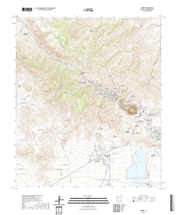
2021 Bisbee
Cochise County, AZ