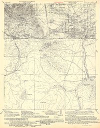
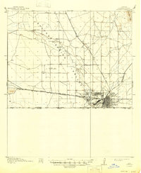
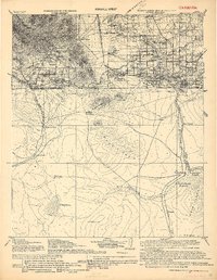
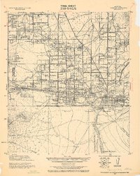
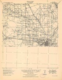
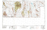
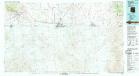
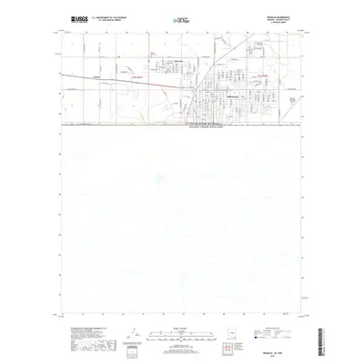
1916 Map of Douglas
USGS Topo · Published 1916About this map
Bisbee serves as the industrial and population anchor for this borderland survey, with its surrounding district showing a complex network of company housing and mining settlements including Lowell, Warren, and Tin Town. The topography is dominated by the Bisbee mountains and Mule Pass, while the southern half of the sheet extends into Mexico, detailing the Rio Cabullona and the Rio de Agua Prieta drainage systems.
Find a feature on this map
71 named features on this map. Tap any name to fly to it.
Don’t see what you’re looking for? This feature index may not catch every label — zoom into the map to look around manually.
Map Details
Editions of this 1916 Douglas Map
This is the sole edition of this map. No revisions or reprints were ever made.
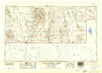
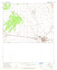
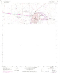
Historical Maps of Pirtleville Through Time
16 maps found
1914 Douglas
Cochise County, AZ
1916 Douglas
Cochise County, AZ
1919 Douglas
Cochise County, AZ
1925 Douglas
Cochise County, AZ
1933 Douglas
Cochise County, AZ
1955 Douglas
Cochise County, AZ
1958 Douglas
Cochise County, AZ
1958 Douglas
Cochise County, AZ
1959 Douglas
Cochise County, AZ

1961 Douglas
Cochise County, AZ

1964 Douglas
Cochise County, AZ
1994 Douglas
Cochise County, AZ
2011 Douglas
Cochise County, AZ
2014 Douglas
Cochise County, AZ
2018 Douglas
Cochise County, AZ
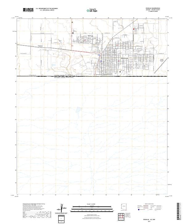
2021 Douglas
Cochise County, AZ