Old Maps of Huachuca City, Arizona
Explore 23 old maps of Huachuca City, spanning from 1915 to today. These high-resolution historic maps reveal how streets, neighborhoods, landmarks, and natural features evolved over time — perfect for genealogy, metal detecting, research, and local history exploration.
What you can do with these maps:
- See how Huachuca City changed over time: Compare historical maps to modern-day views to trace roads, homesites, rail lines & more.
- View detailed metadata: Each map includes creators, publishers, year, scale, and archive source.
- Overlay maps with satellite & LiDAR: Visualize the past alongside modern tools to explore terrain & human change.
- Trusted historical sources: Maps sourced from the USGS, Library of Congress, and other archives.
- Access maps your way: View online, download high-res files, or order prints for personal or research use.
Start exploring old maps of Huachuca City to uncover forgotten places, hidden landmarks, and the deep history beneath your feet.
Huachuca City, AZ maps
(23)- 1915 Map of Benson
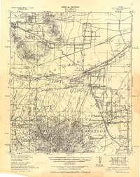
 1915 Benson1915 Print · USGSSouthern Arizona was a landscape of rail junctions and mining claims just before the Great War. Genealogists and historians can trace the reach of Tombstone, find the Panama Mine, and locate vanished rail stops like Fairbank and Boquillas.4 unique versions available
 - 1938 Map of Huachuca
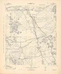
 1938 Huachuca1938 Print · USGSSoutheastern Arizona's military and ranching landscape is captured here in the late thirties, centered on the historic Fort Huachuca. Genealogists and historians can trace early family holdings like Pyeatt Ranch and Mc Beanes, or locate the Manua Panama Mine and the Evans School.
 - 1943 Map of Benson
 1943 Benson1943 Print · USGSCochise County during the wartime 1940s reveals a landscape defined by the San Pedro River and the legendary town of Tombstone. Genealogists and historians can trace the foundations of Fort Huachuca and locate rural landmarks like St David, Fairbank, and Huachuca Turner PO.
 - 1948 Map of Fort Huachuca NE, 1953 Print
 1948 Fort Huachuca NE1953 Print · USGSCochise County is captured here in the late 1940s, showing a landscape defined by military training grounds and heritage cattle ranches. Researchers can locate family landmarks like Pyeatt Ranch and Hunt Ranch or trace the Southern Pacific rail line as it nears Campstone.
 - 1948 Map of Fort Huachuca, 1953 Print
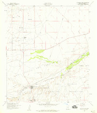
 1948 Fort Huachuca1953 Print · USGSCochise County is captured during the late 1940s, centered on the active operations of the Fort Huachuca installation and its surrounding high-desert terrain. Genealogists and historians can trace the early layout of the Fry Post Office, Apache Flats, and the Buena Sch along the Southern Pacific rail line.
 - 1948 Map of Fort Huachuca, 1956 Print
 1948 Fort Huachuca1956 Print · USGSSoutheast Arizona in the late 1940s is defined here by the intersection of military operations and high-desert ranching. Genealogists and historians can trace family properties like Sands Ranch alongside the installations at Fort Huachuca and the Buena Sch.
 - 1956 Map of Nogales, 1963 Print
 1956 Nogales1963 Print · USGSSouthern Arizona in the mid-fifties is captured here from the Papago tribal lands to the San Pedro valley. Genealogists and historians can trace border settlements like Sasabe, the legacy of Tombstone, and old mining sites including the Mary G Mine.4 unique versions available
 - 1958 Map of Nogales
 1958 Nogales1958 Print · USGSSouthern Arizona in the late fifties was a landscape of international borders and high-desert outposts, dominated by the Huachuca Mountains and the Papago Indian Reservation. Local historians can trace old mining camps like Ruby and Greaterville or locate historic military grounds at the Fort Huachuca Military Reservation.
 - 1958 Map of Fort Huachuca, 1959 Print
 1958 Fort Huachuca1959 Print · USGSSouthern Arizona in the late fifties shows the intersection of military growth and ranching heritage. Genealogists and historians can trace family-named sites like Pyeatt Ranch and Becker Ranch or locate early schools like Myer School.3 unique versions available
 - 1958 Map of Huachuca Vista, 1959 Print
 1958 Huachuca Vista1959 Print · USGSCochise County during the late fifties reveals a landscape of high-desert ranching and expanding military footprints near the Huachuca Mountains. Genealogists and historians can trace family holdings like Boedecker Ranch and the rail-side community of Huachuca Village.4 unique versions available
 - 1958 Map of Fort Huachuca, 1959 Print
 1958 Fort Huachuca1959 Print · USGSCochise County during the late fifties shows the expanding footprint of the Fort Huachuca military post alongside the growth of Sierra Vista. Genealogists and local historians can trace the early neighborhood layouts of Fry, find vanished landmarks like the Drive-in Theater, and locate local schools like Buena School.5 unique versions available
 - 1959 Map of Nogales
 1959 Nogales1959 Print · USGSThe Southern Arizona borderlands appear in the late fifties as a complex landscape of military ranges, tribal lands, and high-desert mining towns. Local historians can trace the Southern Pacific rail lines connecting Tombstone and Benson or locate family ranches such as Canoa Ranch.
 - 1994 Map of Fort Huachuca
 1994 Fort Huachuca1994 Print · USGSSouthern Arizona in the mid-nineties shows a landscape of expansive military reservations, historic land grants, and storied mining districts. Researchers can trace the S P RR through the San Pedro River valley or locate dozens of remote mountain workings like the Montezuma Mine and Eureka Mine.3 unique versions available
 - 1996 Map of Fort Huachuca, 2002 Print
 1996 Fort Huachuca2002 Print · USGSThe High Desert of Cochise County comes into focus in the mid-1990s as military and civilian sectors converge. Genealogists can locate General Myer Sch or Fry, while researchers can trace the Old Railroad Grade and base boundaries.
 - 1996 Map of Huachuca City, 2002 Print
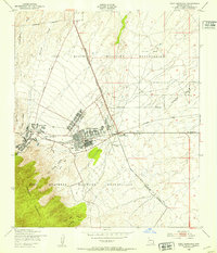
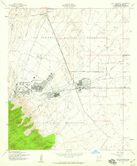
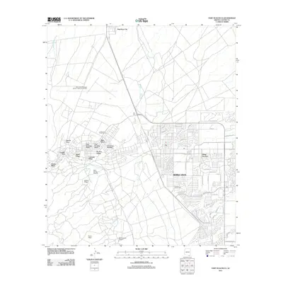
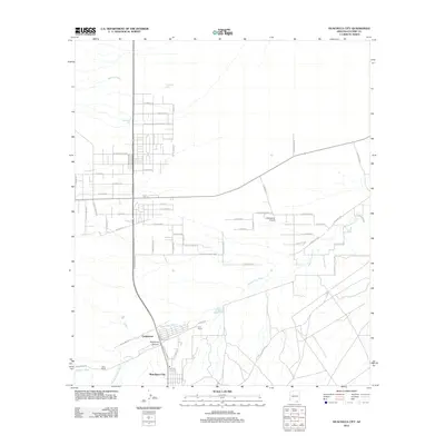
 1996 Huachuca City2002 Print · USGSHuachuca City and the surrounding high desert are captured here in the late nineties, showcasing the region's military and ranching roots. Genealogists and researchers can locate Hunt Ranch, the community of Campstone, and the expansive Fort Huachuca Military Reservation.
 - 2011 Map of Fort Huachuca, 2011 Print
 2011 Fort Huachuca2011 Print · USGSCovers Huachuca City, including Sierra Vista, West Pershing Plaza, and other nearby areas
 - 2012 Map of Huachuca City, 2012 Print
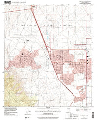
 2012 Huachuca City2012 Print · USGSCovers Huachuca City, including Sierra Vista, Whetstone, and other nearby areas
 - 2014 Map of Fort Huachuca, 2014 Print
 2014 Fort Huachuca2014 Print · USGSCovers Huachuca City, including Sierra Vista, West Pershing Plaza, and other nearby areas
 - 2014 Map of Huachuca City, 2014 Print
 2014 Huachuca City2014 Print · USGSCovers Huachuca City, including Sierra Vista, Whetstone, and other nearby areas
 - 2018 Map of Fort Huachuca, 2018 Print
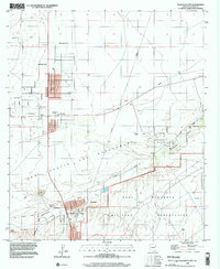
 2018 Fort Huachuca2018 Print · USGSCovers Huachuca City, including Sierra Vista, West Pershing Plaza, and other nearby areas
 - 2018 Map of Huachuca City, 2018 Print
 2018 Huachuca City2018 Print · USGSCovers Huachuca City, including Sierra Vista, Whetstone, and other nearby areas
 - 2021 Map of Fort Huachuca, 2021 Print
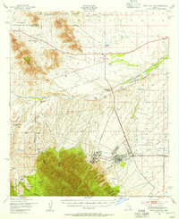
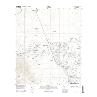
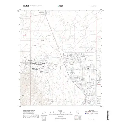
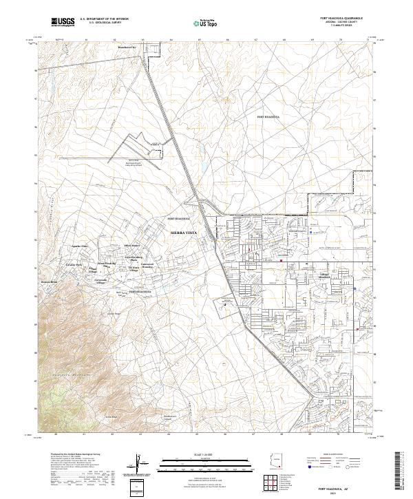 2021 Fort Huachuca2021 Print · USGSSierra Vista and the San Pedro Valley are shown in detail during the early 2020s, reflecting decades of residential and military growth. Researchers can trace local neighborhoods from Miles Manor to Fry, or locate the Southern Arizona Veterans Memorial Cemetery.
 - 2021 Map of Huachuca City, 2021 Print
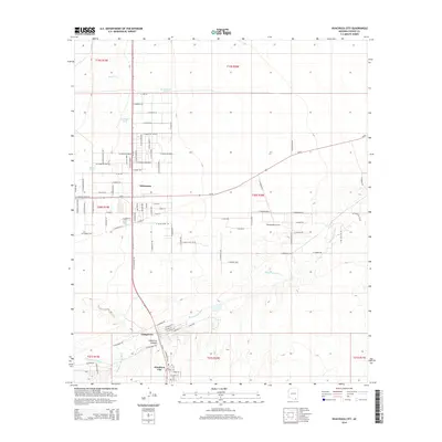
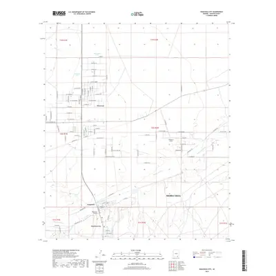
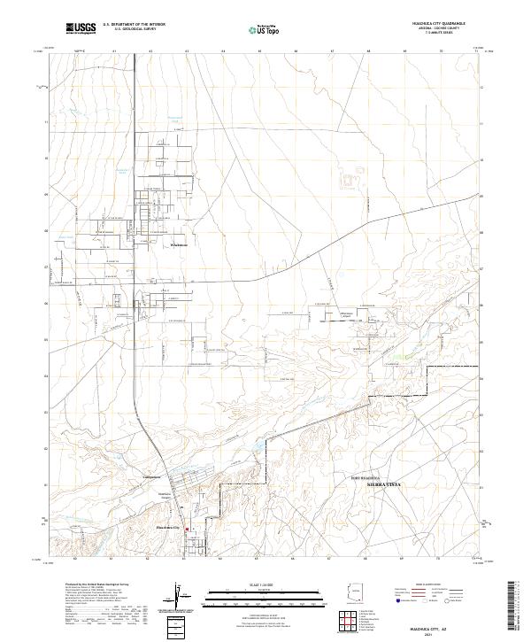 2021 Huachuca City2021 Print · USGSHuachuca City and the surrounding desert plains are shown in this contemporary study of Cochise County's growth. Researchers can trace local development around the Babocomari River, the Whetstone Airport, and the small settlement of Campstone.
End of results
Showing maps 1-23 of 23
Top cities near Huachuca City
Frequently asked questions
- What are the different types of historical maps available for Huachuca City?
- What is the oldest map of Huachuca City?
- Where can I purchase historical maps of Huachuca City for my home or office?
- Where can I download high-res historical maps of Huachuca City?
- Are there historical topographic maps available for Huachuca City?
- Is there historical aerial imagery available for Huachuca City?
- Where are historical maps of Huachuca City sourced from?