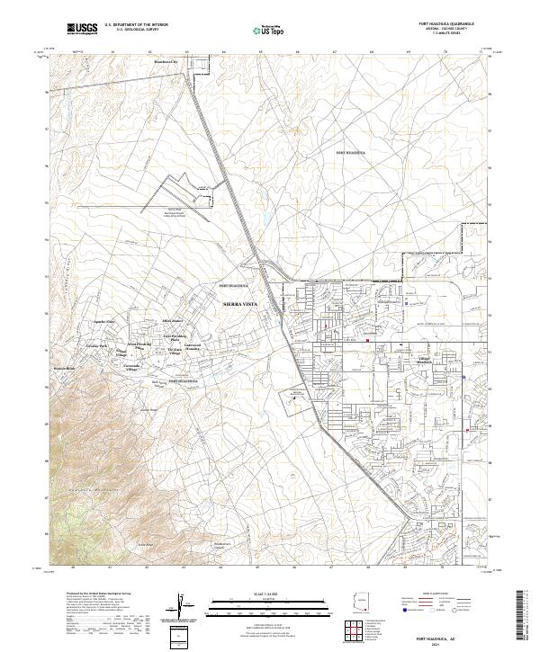
2021 Map of Fort Huachuca
USGS Topo · Published 2021About this map
Sierra Vista and the surrounding high-desert landscape of Cochise County are documented in this 2021 survey, illustrating the significant urban and military footprint in the San Pedro Valley. The map captures the complex residential geography of the area, featuring established neighborhoods and housing developments such as Miles Manor, Cavalay Park, De Anza Village, and Village Meadows. This modern record highlights the importance of the Sierra Vista Municipal Airport- Libby Army Airfield, a dual-use facility that underscores the region's long-standing connection to military aviation.
Find a feature on this map
46 named features on this map. Tap any name to fly to it.
Don’t see what you’re looking for? This feature index may not catch every label — zoom into the map to look around manually.
Map Details
Editions of this 2021 Fort Huachuca Map
This is the sole edition of this map. No revisions or reprints were ever made.
Other maps of this area
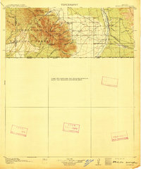
1914 · Hereford
USGS Topo · 1:125,000
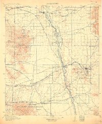
1915 · Benson
USGS Topo · 1:125,000
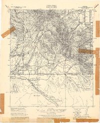
1922 · Sunnyside
USGS Topo · 1:62,500
1932 · Stark
USGS Topo · 1:62,500
1932 · Fairbank
USGS Topo · 1:62,500
1938 · Huachuca
USGS Topo · 1:62,500
1938 · Sunnyside
USGS Topo · 1:62,500
1943 · Benson
USGS Topo · 1:125,000
1948 · Huachuca Peak
USGS Topo · 1:24,000
1948 · Fort Huachuca NE
USGS Topo · 1:24,000
Featured Places
- Sierra Vista, AZ
- Huachuca City, AZ
- Apache Flats, Sierra Vista
- Cavalry Park, Sierra Vista
- Bonnie Blink, Sierra Vista