
1948 Map of Fort Huachuca NE
USGS Topo · Published 1953About this map
Fort Huachuca Military Reservation dominates the southern landscape of this Arizona territory, where a sprawling Artillery Range meets the steep drainage of Huachuca Canyon. The geography reflects a mid-century intersection of military operations and traditional Southwestern ranching life. Established land holdings like Boedecker Ranch and Slash Z Ranch are scattered across the scrubland, while the Babocomari River carves a path through the San Ignacio Del Babocomari land grant. Transportation and infrastructure are vital to the area's character, evidenced by the Southern Pacific railroad line passing near the small settlement of Campstone and a prominent Pipe Line cutting across the desert floor. The presence of a small Cem near the Turner Ranch provides a specific point of interest for genealogists tracing early Cochise County residents.
Find a feature on this map
19 named features on this map. Tap any name to fly to it.
Don’t see what you’re looking for? This feature index may not catch every label — zoom into the map to look around manually.
Map Details
Editions of this 1948 Fort Huachuca NE Map
This is the sole edition of this map. No revisions or reprints were ever made.
Other maps of this area

1915 · Benson
USGS Topo · 1:125,000

1922 · St. David
USGS Topo · 1:62,500

1926 · Whetstone
USGS Topo · 1:62,500

1932 · Fairbank
USGS Topo · 1:62,500

1938 · Huachuca
USGS Topo · 1:62,500

1943 · Benson
USGS Topo · 1:125,000
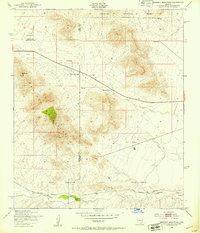
1948 · Mustang Mountains
USGS Topo · 1:24,000
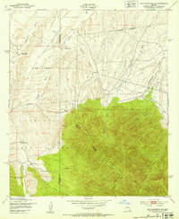
1948 · Fort Huachuca SW
USGS Topo · 1:24,000
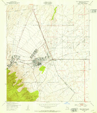
1948 · Fort Huachuca
USGS Topo · 1:24,000
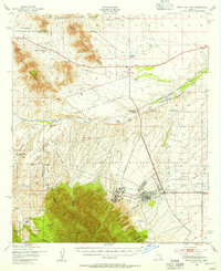
1948 · Fort Huachuca
USGS Topo · 1:62,500