Old Maps of Sierra Vista, Arizona
Explore 97 old maps of Sierra Vista, spanning from 1914 to today. These high-resolution historic maps reveal how streets, neighborhoods, landmarks, and natural features evolved over time — perfect for genealogy, metal detecting, research, and local history exploration.
What you can do with these maps:
- See how Sierra Vista changed over time: Compare historical maps to modern-day views to trace roads, homesites, rail lines & more.
- View detailed metadata: Each map includes creators, publishers, year, scale, and archive source.
- Overlay maps with satellite & LiDAR: Visualize the past alongside modern tools to explore terrain & human change.
- Trusted historical sources: Maps sourced from the USGS, Library of Congress, and other archives.
- Access maps your way: View online, download high-res files, or order prints for personal or research use.
Start exploring old maps of Sierra Vista to uncover forgotten places, hidden landmarks, and the deep history beneath your feet.
Sierra Vista, AZ maps
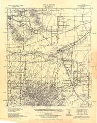
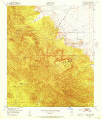
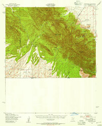
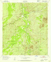
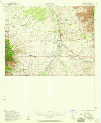
(97)- 1914 Map of Hereford
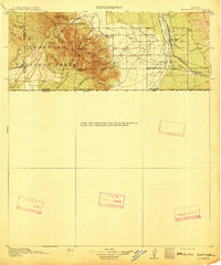 1914 Hereford1914 Print · USGSUpper Cochise County reveals its early ranching and mining character just before the Great War. Genealogists and historians can trace remote mountain settlements like Sunnyside and Hamburg or the railway path of the El Paso and Southwestern.3 unique versions available
 - 1915 Map of Benson
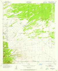
 1915 Benson1915 Print · USGSSouthern Arizona was a landscape of rail junctions and mining claims just before the Great War. Genealogists and historians can trace the reach of Tombstone, find the Panama Mine, and locate vanished rail stops like Fairbank and Boquillas.4 unique versions available
 - 1922 Map of Sunnyside, 1926 Print
 1922 Sunnyside1926 Print · USGSThe Arizona-Mexico border comes alive in the 1920s, showing the high country of the Huachucas before modern development. Genealogists and researchers can locate remote outposts like Sunnyside, trace the Southern Pacific Railroad, and find the Carr Canyon School.
 - 1932 Map of Stark
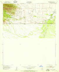
 1932 Stark1932 Print · USGSThe Arizona-Sonora borderlands come alive in this early 1930s survey, documenting the ranches and rail stops along the San Pedro River. Genealogists and historians can trace family locations at Radcliffe, Hereford, and the Canton Ranch.
 - 1932 Map of Fairbank
 1932 Fairbank1932 Print · USGSCochise County during the early 1930s remains a critical hub of Arizona mining and ranching along the San Pedro River. Researchers can trace the industrial landscape of Tombstone, locating the Bronco Mine, the Powder Magazine, and old rail junctions like Benson Junction.
 - 1938 Map of Huachuca
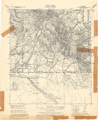
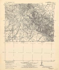
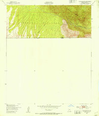
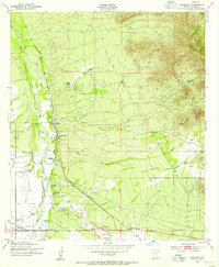
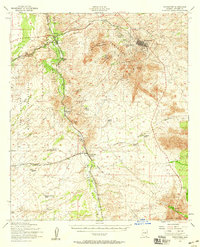
 1938 Huachuca1938 Print · USGSSoutheastern Arizona's military and ranching landscape is captured here in the late thirties, centered on the historic Fort Huachuca. Genealogists and historians can trace early family holdings like Pyeatt Ranch and Mc Beanes, or locate the Manua Panama Mine and the Evans School.
 - 1938 Map of Sunnyside
 1938 Sunnyside1938 Print · USGSThe Arizona borderlands near the Santa Cruz and Cochise county line are shown here in the years before the second World War. Researchers can trace the layout of Fort Huachuca and locate remote outposts like the Montezuma Mine, Sunnyside, and the R.O. Cattle Co.2 unique versions available
 - 1943 Map of Benson
 1943 Benson1943 Print · USGSCochise County during the wartime 1940s reveals a landscape defined by the San Pedro River and the legendary town of Tombstone. Genealogists and historians can trace the foundations of Fort Huachuca and locate rural landmarks like St David, Fairbank, and Huachuca Turner PO.
 - 1948 Map of Huachuca Peak, 1953 Print
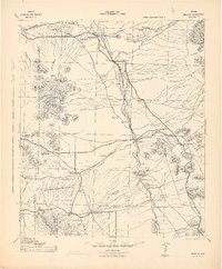
 1948 Huachuca Peak1953 Print · USGSThe high Arizona mountains and the military frontier meet in the late 1940s just north of the border. Researchers can trace remote ranching outposts like Hathaway Ranch, the operations at Eureka Mine, and the early footprint of the Fort Huachuca Military Reservation.
 - 1948 Map of Fort Huachuca NE, 1953 Print
 1948 Fort Huachuca NE1953 Print · USGSCochise County is captured here in the late 1940s, showing a landscape defined by military training grounds and heritage cattle ranches. Researchers can locate family landmarks like Pyeatt Ranch and Hunt Ranch or trace the Southern Pacific rail line as it nears Campstone.
 - 1948 Map of Miller Peak, 1953 Print
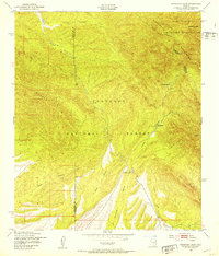
 1948 Miller Peak1953 Print · USGSCochise County in the late 1940s reveals a rugged landscape of military reservations and forest land defined by its mining and ranching roots. Genealogists and historians can trace family locations at Carr Canyon Ranch and Wakefield Camp or locate the Pomona Mine high in the mountains.
 - 1948 Map of Sunnyside SE, 1953 Print
 1948 Sunnyside SE1953 Print · USGSThe high ridges of the Arizona-Mexico border are captured here just after the war. Mineral seekers and local historians can trace the paths to the Morgan Mine, Texas Mine, and a secluded Cem near Montezuma Pass.
 - 1948 Map of Fort Huachuca SW, 1953 Print
 1948 Fort Huachuca SW1953 Print · USGSCochise County ranching and military life intersect here just after the war, where the high desert meets the national forest. Researchers can trace historic property lines and family operations like Pyeatt Ranch, Diamond C Ranch, and the Anderson Mine.
 - 1948 Map of Fort Huachuca, 1953 Print
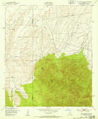
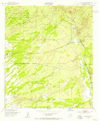
 1948 Fort Huachuca1953 Print · USGSCochise County is captured during the late 1940s, centered on the active operations of the Fort Huachuca installation and its surrounding high-desert terrain. Genealogists and historians can trace the early layout of the Fry Post Office, Apache Flats, and the Buena Sch along the Southern Pacific rail line.
 - 1948 Map of Sunnyside, 1956 Print
 1948 Sunnyside1956 Print · USGSArizona's high border country is captured here in the late Forties, showing the intersection of military lands and remote mountain ranching. Genealogists and historians can locate family holdings like Hathaway Ranch and McNab Ranch or trace old mining sites such as the Wakefield Mine.
 - 1948 Map of Fort Huachuca, 1956 Print
 1948 Fort Huachuca1956 Print · USGSSoutheast Arizona in the late 1940s is defined here by the intersection of military operations and high-desert ranching. Genealogists and historians can trace family properties like Sands Ranch alongside the installations at Fort Huachuca and the Buena Sch.
 - 1952 Map of Tombstone SE, 1955 Print
 1952 Tombstone SE1955 Print · USGSCochise County in the early fifties shows a landscape defined by cattle ranching and early transit corridors south of Tombstone. Researchers can trace historic homesteads like Keller Ranch and the path of the Southern Pacific near the Mule Mountains.3 unique versions available
 - 1952 Map of Lewis Springs, 1955 Print
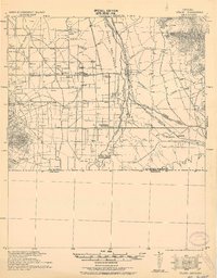
 1952 Lewis Springs1955 Print · USGSCochise County ranchlands and military grounds are captured here during the early fifties, centering on the San Pedro River. Researchers can trace historic family holdings like the Donnet-Fry Ranch and Schrader Ranch or the rail stop at Lewis Springs.4 unique versions available
 - 1952 Map of Hereford, 1955 Print
 1952 Hereford1955 Print · USGSThe ranching country of southern Cochise County comes into focus in this early 1950s survey of the San Pedro River valley. Researchers can trace historic family holdings like the Ullrich Ranch and Stagg Ranch alongside the Southern Pacific Railroad.4 unique versions available
 - 1952 Map of Fairbank, 1955 Print
 1952 Fairbank1955 Print · USGSCochise County during the early 1950s was a landscape of remote rail junctions and desert ranching along the San Pedro River. Genealogists and historians can trace the foundations of Fairbank, the operations at Boquillas Ranch, and the Charleston Lead Mine.3 unique versions available
 - 1952 Map of Nicksville, 1955 Print
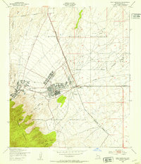
 1952 Nicksville1955 Print · USGSNicksville and the surrounding Cochise County ranchlands are captured here in the early fifties, showing a landscape of specialized agriculture and aviation. Researchers can locate named family spreads like Wintergreen Mink Ranch and the Bauer-Kircher Mine.4 unique versions available
 - 1952 Map of Hereford SW, 1955 Print
 1952 Hereford SW1955 Print · USGSThe Arizona-Mexico borderlands in the early fifties reveal a landscape of isolated cattle operations and mountain canyons. Genealogists and historians can trace family properties like Smith Ranch and Montezuma Ranch along the San Pedro River.3 unique versions available
 - 1952 Map of Tombstone, 1959 Print
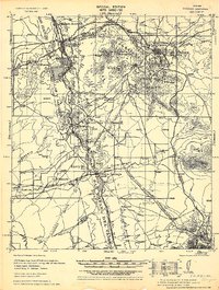
 1952 Tombstone1959 Print · USGSCochise County during the early 1950s reveals a landscape defined by ranching, mining, and frontier legacy. Genealogists and historians can trace old homesteads like Bakarich-McCool Ranch or locate the famed Boothill Cem and Fairbank rail junction.2 unique versions available
 - 1952 Map of Hereford, 1959 Print
 1952 Hereford1959 Print · USGSCochise County ranching and rail life are on full display in the early fifties, from the valley floor to the national forest peaks. Genealogists can trace family holdings like Smiling Tiger Ranch and Rancho Del Rio or locate the Cem near Palominas.2 unique versions available
 - 1956 Map of Nogales, 1963 Print
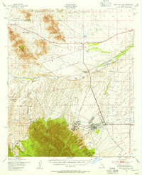
 1956 Nogales1963 Print · USGSSouthern Arizona in the mid-fifties is captured here from the Papago tribal lands to the San Pedro valley. Genealogists and historians can trace border settlements like Sasabe, the legacy of Tombstone, and old mining sites including the Mary G Mine.4 unique versions available
Showing maps 1-25 of 97
Top cities near Sierra Vista
Top neighborhoods of Sierra Vista
- Ramsey historical maps
- Bledsoe historical maps
- West Pershing Plaza historical maps
- Village Meadows historical maps
- Apache Flats historical maps
- Fry historical maps
See more
Frequently asked questions
- What are the different types of historical maps available for Sierra Vista?
- What is the oldest map of Sierra Vista?
- Where can I purchase historical maps of Sierra Vista for my home or office?
- Where can I download high-res historical maps of Sierra Vista?
- Are there historical topographic maps available for Sierra Vista?
- Is there historical aerial imagery available for Sierra Vista?
- Where are historical maps of Sierra Vista sourced from?