Loading...
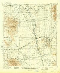
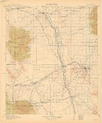
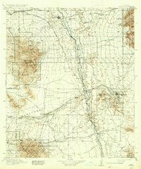
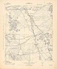
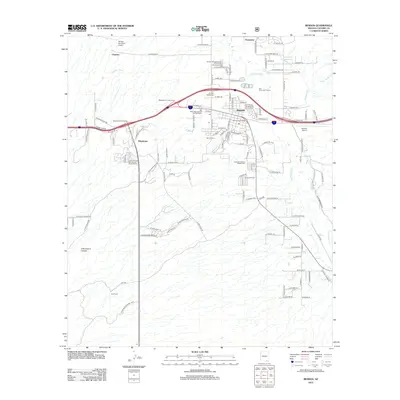
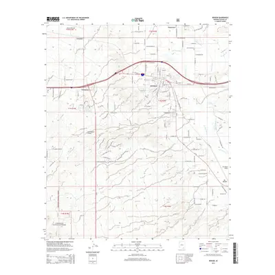
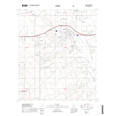
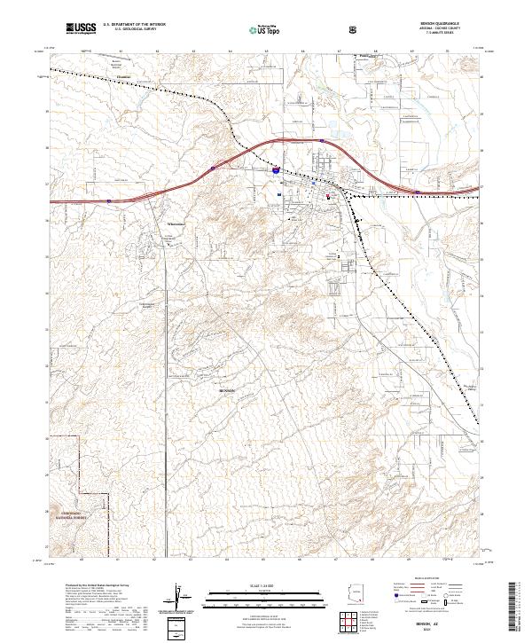
Loading map...1915 Map of Benson
USGS Topo · Published 1948About this map
The San Pedro River valley serves as the central artery for this early 20th-century landscape, where industrial mining and military operations define the local economy. At the height of its silver-mining influence, Tombstone is surrounded by named landmarks such as Comstock Hill and Military Hill, while the nearby settlement of Charleston sits downstream. To the west, the Fort Huachuca Military Reservation occupies the base of the Huachuca Mountains, supported by the remote Huachuca Turner PO.
Find a feature on this map
94 named features on this map. Tap any name to fly to it.
Don’t see what you’re looking for? This feature index may not catch every label — zoom into the map to look around manually.
Map Details
Date Portrayed1915
Date Published1948
PublisherU.S. Geological Survey
Map TypeTopographic
Scale1:125,000
Physical Dimensions17 x 20.7 inches
Editions of this 1915 Benson Map
4 editions found

Historical Maps of Sierra Vista Through Time
9 maps found
Featured Locations
Source Details
SourceU.S. Geological Survey
CopyrightPublic Domain