Loading...
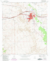
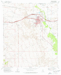
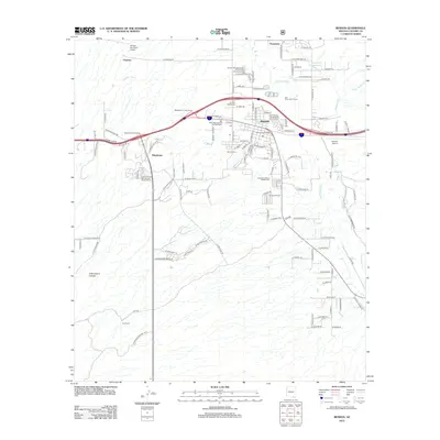
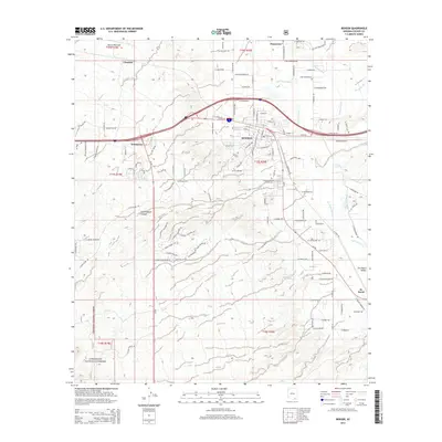
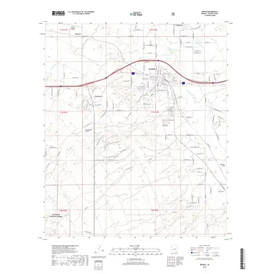
Loading map...1973 Map of Benson
USGS Topo · Published 1984About this map
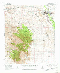
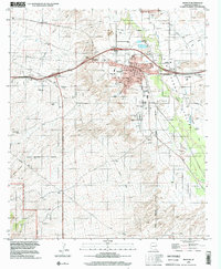
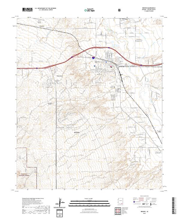
The San Pedro Valley serves as the primary corridor for commerce and transport in this corner of Cochise County, defined by the fertile path of the San Pedro River. The settlement of Benson functions as a vital railroad hub, where the Southern Pacific line meets an expanding road network near the Union Ch and Benson Cem. Industrial activity is evident through numerous Borrow Pits and gravel operations concentrated along the valley floor, supporting the region's growth.
Find a feature on this map
37 named features on this map. Tap any name to fly to it.
Don’t see what you’re looking for? This feature index may not catch every label — zoom into the map to look around manually.
Map Details
Date Portrayed1973
Date Published1984
PublisherU.S. Geological Survey
Map TypeTopographic
Scale1:24,000
Physical Dimensions22 x 26.8 inches
Editions of this 1973 Benson Map
2 editions found
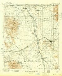
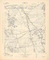
Historical Maps of Benson Through Time
9 maps found
Featured Locations
Source Details
SourceU.S. Geological Survey
CopyrightPublic Domain