
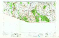
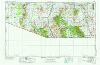
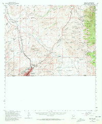
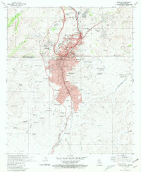
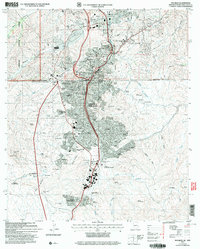
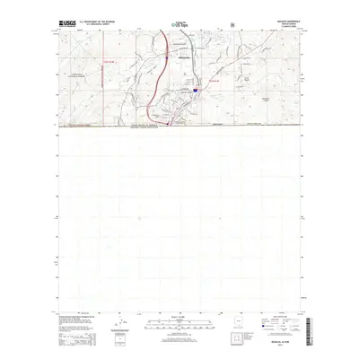
1956 Map of Nogales
USGS Topo · Published 1963About this map
The Papago Indian Reservation dominates the western desert landscape of this 1950s borderlands survey, characterized by scattered indigenous settlements like Sells and Ali Chukson. To the east, the terrain rises sharply into the Santa Rita Mountains and Patagonia Mountains, home to mining operations such as the Helvetia Mine and the Mary G Mine. This period reveals a landscape of transition where the Southern Pacific railroad connects established hubs like Benson and Nogales with ranching outposts and military installations. The presence of the Fort Huachuca Military Reservation and the Sahuarita Bombing and Gunnery Range highlights the significant federal footprint in southern Arizona during the mid-century. From the frontier history of Tombstone to the winding course of the Santa Cruz River, the map captures the region's complex mix of tribal lands, cattle ranching, and strategic defense.
Find a feature on this map
114 named features on this map. Tap any name to fly to it.
Don’t see what you’re looking for? This feature index may not catch every label — zoom into the map to look around manually.
Map Details
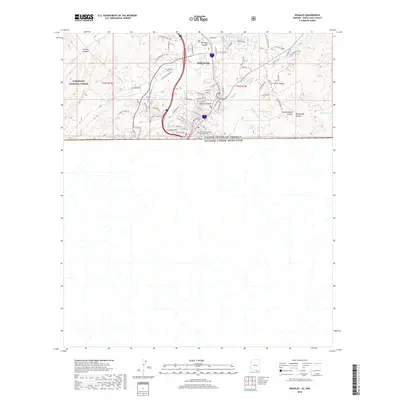
Editions of this 1956 Nogales Map
4 editions found
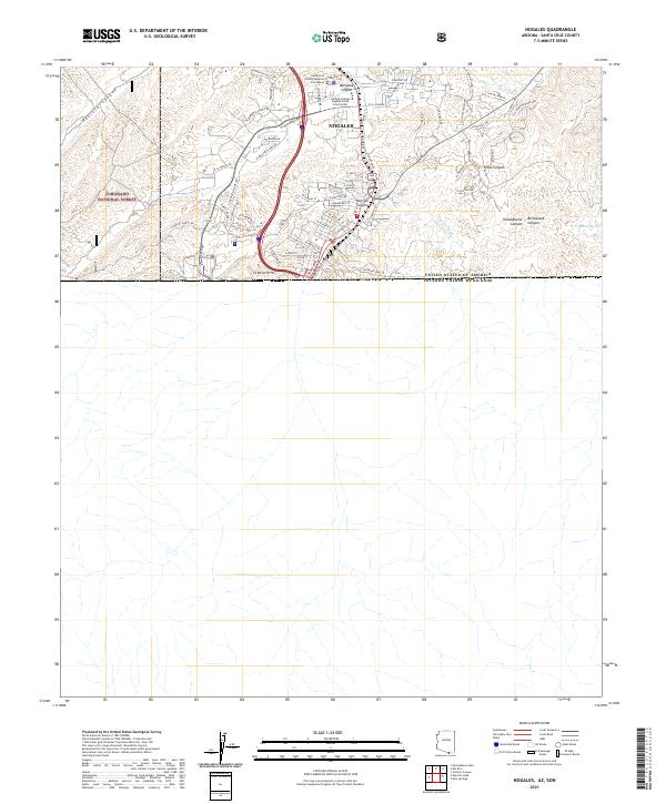
Historical Maps of Tucson Through Time
12 maps found
1905 Nogales
Santa Cruz County, AZ
1956 Nogales
Santa Cruz County, AZ

1958 Nogales
Santa Cruz County, AZ
1958 Nogales
Santa Cruz County, AZ

1959 Nogales
Santa Cruz County, AZ
1981 Nogales
Santa Cruz County, AZ

1994 Nogales
Santa Cruz County, AZ
2004 Nogales
Santa Cruz County, AZ
2012 Nogales
Santa Cruz County, AZ
2014 Nogales
Santa Cruz County, AZ
2018 Nogales
Santa Cruz County, AZ
2021 Nogales
Santa Cruz County, AZ