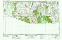
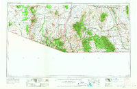
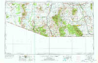
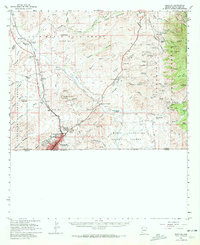
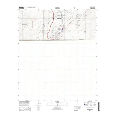
1956 Map of Nogales
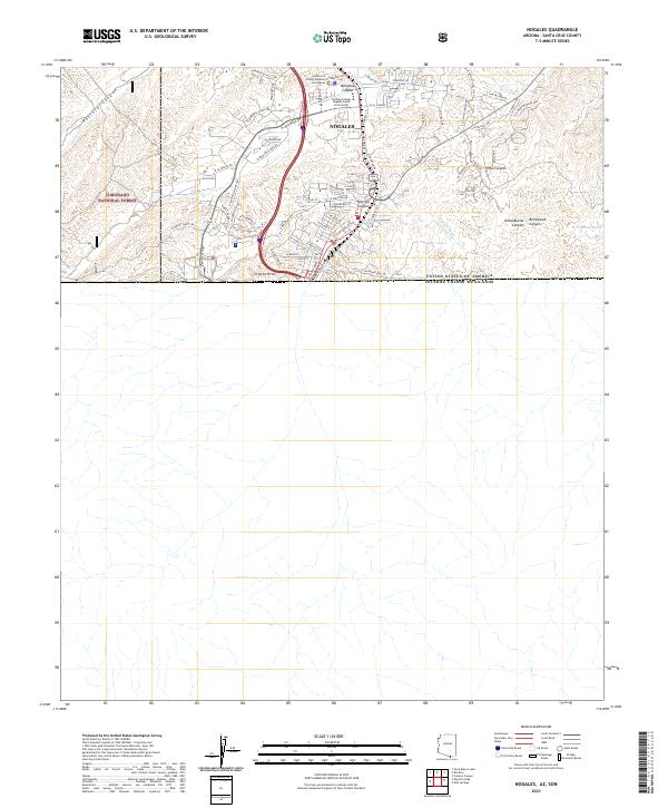
USGS Topo · Published 1973About this map
Nogales serves as a critical junction along the United States Mexico boundary in this mid-century survey of Southern Arizona. The landscape is defined by the high-elevation island ranges of the Coronado National Forest, including the Santa Rita Mountains and the Huachuca Mountains. These peaks overlook a region transitioning from its storied mining past to its military and agricultural present. To the east, the historic town of Tombstone remains a landmark near Walnut Gulch, while the Fort Huachuca Military Reservation and the Sahuarita Bombing and Gunnery Range indicate the significant mid-century federal footprint in the Santa Cruz and San Pedro River valleys.
Find a feature on this map
56 named features on this map. Tap any name to fly to it.
Don’t see what you’re looking for? This feature index may not catch every label — zoom into the map to look around manually.
Map Details
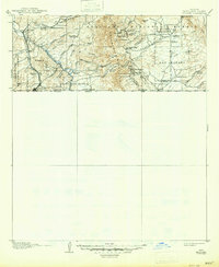
Editions of this 1956 Nogales Map
4 editions found

Historical Maps of Tucson Through Time
12 maps found
1905 Nogales
Santa Cruz County, AZ
1956 Nogales
Santa Cruz County, AZ

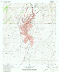
1958 Nogales
Santa Cruz County, AZ
1958 Nogales
Santa Cruz County, AZ

1959 Nogales
Santa Cruz County, AZ
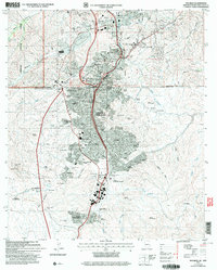
1981 Nogales
Santa Cruz County, AZ

1994 Nogales
Santa Cruz County, AZ
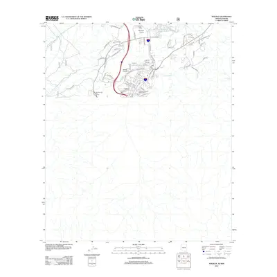
2004 Nogales
Santa Cruz County, AZ
2012 Nogales
Santa Cruz County, AZ
2014 Nogales
Santa Cruz County, AZ
2018 Nogales
Santa Cruz County, AZ
2021 Nogales
Santa Cruz County, AZ