
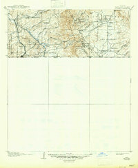
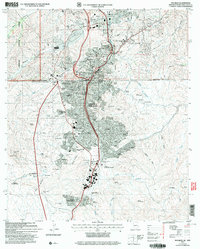
1958 Map of Nogales
USGS Topo · Published 1958About this map
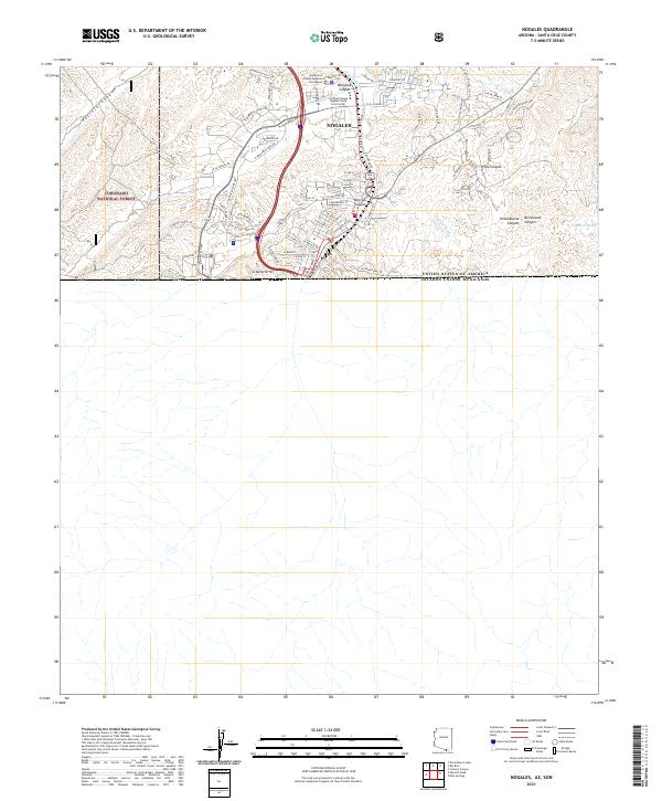
The Arizona-Sonora Boundary defines the southern reach of this late-1950s survey, where the international border meets the high desert floor and the sky islands of the Huachuca Mountains and Santa Rita Mountains. This landscape is marked by its complex history of mining and military presence, from the established Fort Huachuca Military Reservation to the rugged extraction sites at Duquesne Mine and Mowry Mine. The Santa Cruz River and San Pedro River valleys provide the primary north-south corridors for transport and settlement, supporting towns like Nogales and the historic community of Tubac.
Find a feature on this map
92 named features on this map. Tap any name to fly to it.
Don’t see what you’re looking for? This feature index may not catch every label — zoom into the map to look around manually.
Map Details
Editions of this 1958 Nogales Map
This is the sole edition of this map. No revisions or reprints were ever made.
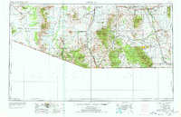
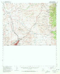
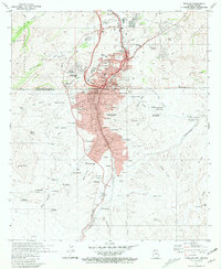
Historical Maps of Tucson Through Time
12 maps found
1905 Nogales
Santa Cruz County, AZ
1956 Nogales
Santa Cruz County, AZ
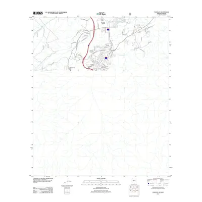
1958 Nogales
Santa Cruz County, AZ
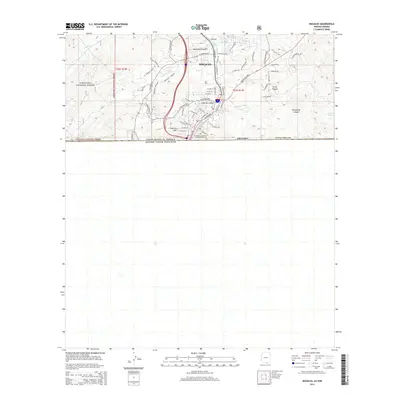
1958 Nogales
Santa Cruz County, AZ

1959 Nogales
Santa Cruz County, AZ
1981 Nogales
Santa Cruz County, AZ

1994 Nogales
Santa Cruz County, AZ
2004 Nogales
Santa Cruz County, AZ
2012 Nogales
Santa Cruz County, AZ
2014 Nogales
Santa Cruz County, AZ
2018 Nogales
Santa Cruz County, AZ
2021 Nogales
Santa Cruz County, AZ