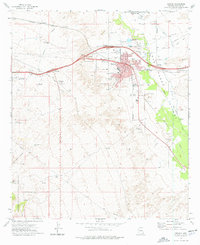
1973 Map of Benson
USGS Topo · Published 1976About this map
The San Pedro Valley serves as a corridor for infrastructure and settlement in the early 1970s, where the San Pedro River flows northward past the community of Benson. This period shows the town as a vital junction, where the Southern Pacific railroad meets major road interchanges like the West Benson Interchange and Pomerene Interchange. The map reveals a balance between town life—represented by the Hospital, High School, and Benson Cemetery—and the surrounding ranching and industrial landscape. Family-named locations such as Mendivil and Post Ranch sit alongside multiple borrow and gravel pits, indicating ongoing development. To the west, the desert terrain rises toward the Coronado National Forest, while the north features the agricultural settlement of Pomerene and its distinct sewage disposal pond, illustrating the managed growth of these desert communities.
Find a feature on this map
35 named features on this map. Tap any name to fly to it.
Don’t see what you’re looking for? This feature index may not catch every label — zoom into the map to look around manually.
Map Details
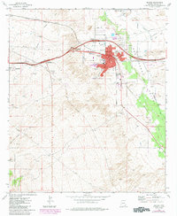
Editions of this 1973 Benson Map
2 editions found
Other maps of this area

1915 · Benson
USGS Topo · 1:125,000

1922 · St. David
USGS Topo · 1:62,500

1926 · Whetstone
USGS Topo · 1:62,500

1943 · Benson
USGS Topo · 1:125,000

1943 · Dragoon
USGS Topo · 1:62,500

1945 · Happy Valley
USGS Topo · 1:62,500

1956 · Nogales
USGS Topo · 1:250,000

1956 · Tucson
USGS Topo · 1:250,000

1958 · Nogales
USGS Topo · 1:250,000

1958 · Tucson
USGS Topo · 1:250,000