Loading...
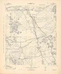
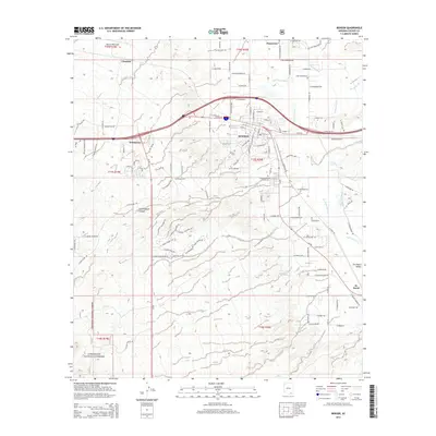
Loading map...1958 Map of Benson
USGS Topo · Published 1962About this map
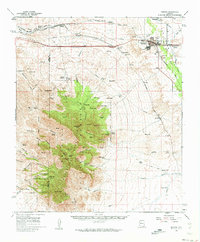
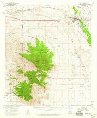
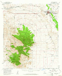
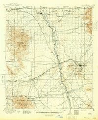
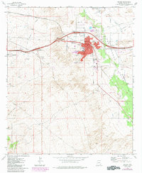
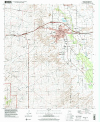
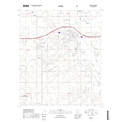
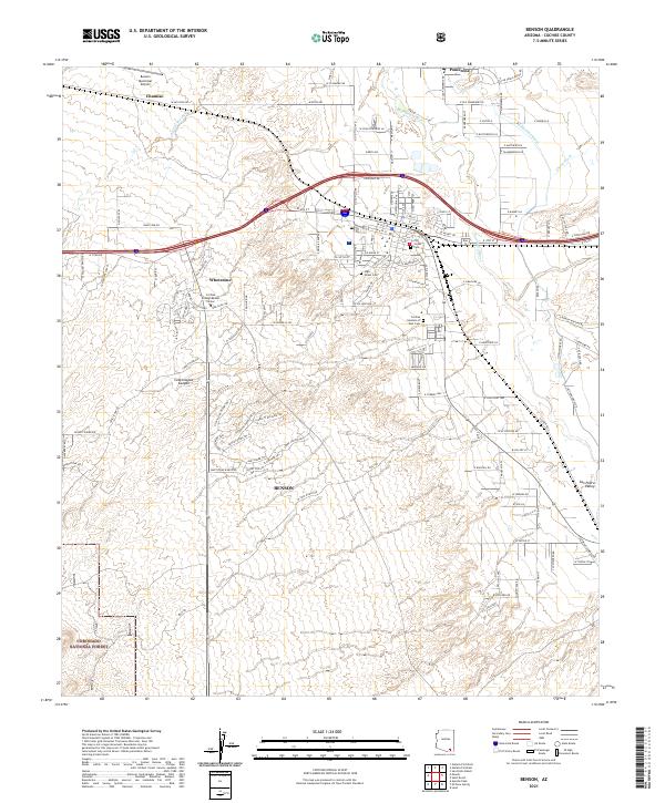
Benson sits as the central hub of this Arizona landscape, positioned where the Southern Pacific railroad and major pipelines intersect. The map illustrates a transitional environment, moving from the developed valley floor near the San Pedro River to the high elevations of the Whetstone Mountains. Within these peaks, the Coronado National Forest contains a rugged network of canyons and summits like Cottonwood Peak and Apache Peak.
Find a feature on this map
87 named features on this map. Tap any name to fly to it.
Don’t see what you’re looking for? This feature index may not catch every label — zoom into the map to look around manually.
Map Details
Date Portrayed1958
Date Published1962
PublisherU.S. Geological Survey
Map TypeTopographic
Scale1:62,500
Physical Dimensions18 x 21.7 inches
Editions of this 1958 Benson Map
3 editions found
Historical Maps of Benson Through Time
9 maps found
Featured Locations
Source Details
SourceU.S. Geological Survey
CopyrightPublic Domain